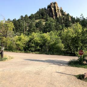
Trailhead Description
The Peoples' Crossing Trailhead provides access to the network of Red Rocks Trails. The new name for the trailhead was developed by representatives from federally recognized American Indian Tribes and was a result of the city's Indigenous Peoples Day Resolution.
In 2016, the Human Relations Commission and community members drafted the Indigenous Peoples Day Resolution (Resolution No. 1190), which was presented at the Aug. 2, 2016, Boulder City Council meeting and adopted by the City of Boulder. It declared the second Monday of October of each year to be Indigenous Peoples Day and directed the city to receive guidance from Tribal Representatives to rename the area, which was formerly known as Settler's Park.
The Peoples' Crossing has several meanings for Tribal Representatives who developed the name, including:
- It honors the area as a crossroads for Indigenous Peoples who have traversed and lived in the Boulder area since time immemorial.
- “The People” or “Our People” are English translations for how many American Indian Tribal Nations refer to themselves in their native languages.
- Usage of the term “The People” is meant to be inclusive of all people who have traveled through and have lived in the Boulder area.
Learn more about the city's Indigenous Peoples Day Resolution and how the city worked with federally recognized American Indian Tribal Nations to rename Settler's Park.
Tribal Representatives and city staff removed Indigenous-related signs at The Peoples’ Crossing in March 2023 as part of ongoing collaboration to update Indigenous-related interpretative signage on city open space and continue fulfilling the Indigenous Peoples Day Resolution. City staff and Tribal Representatives also visited a “Settler’s Park” inscription – which has the former name for The Peoples’ Crossing – that remains on a concrete underpass tunnel structure and which the city intends to remove and replace with The Peoples' Crossing name.
Restrooms
None (A set of multiple restrooms located approximately 0.25 miles south in Eben G. Fine Park).
Picnic Facilities
Three picnic tables and two trash cans at trailhead.