Test text
The City of Boulder has an enterprise Geographic Information System (GIS) shared by all city departments. The centralized data repository allows each department to maintain mapping information particular to their business and share that information with all other departments and the community.
Map listing
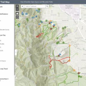
Open Space Trails
Open Space and Mountain Parks' Trails map highlights all of the trails and trailheads on OSMP lands

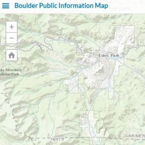
Boulder OEM Public Information
The Public Information Map is used to provide official map based information during an emergency.
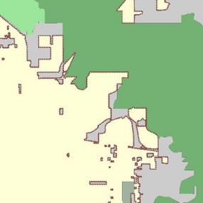
BVCP Future Land Use
The Boulder Valley Planning Area is divided into three major areas: Area I, Area II, Area III.
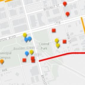
Capital Improvement Bond Projects
Projects in the $49 million bond package were chosen by the 16 members of the Capital Investment Strategy Committee