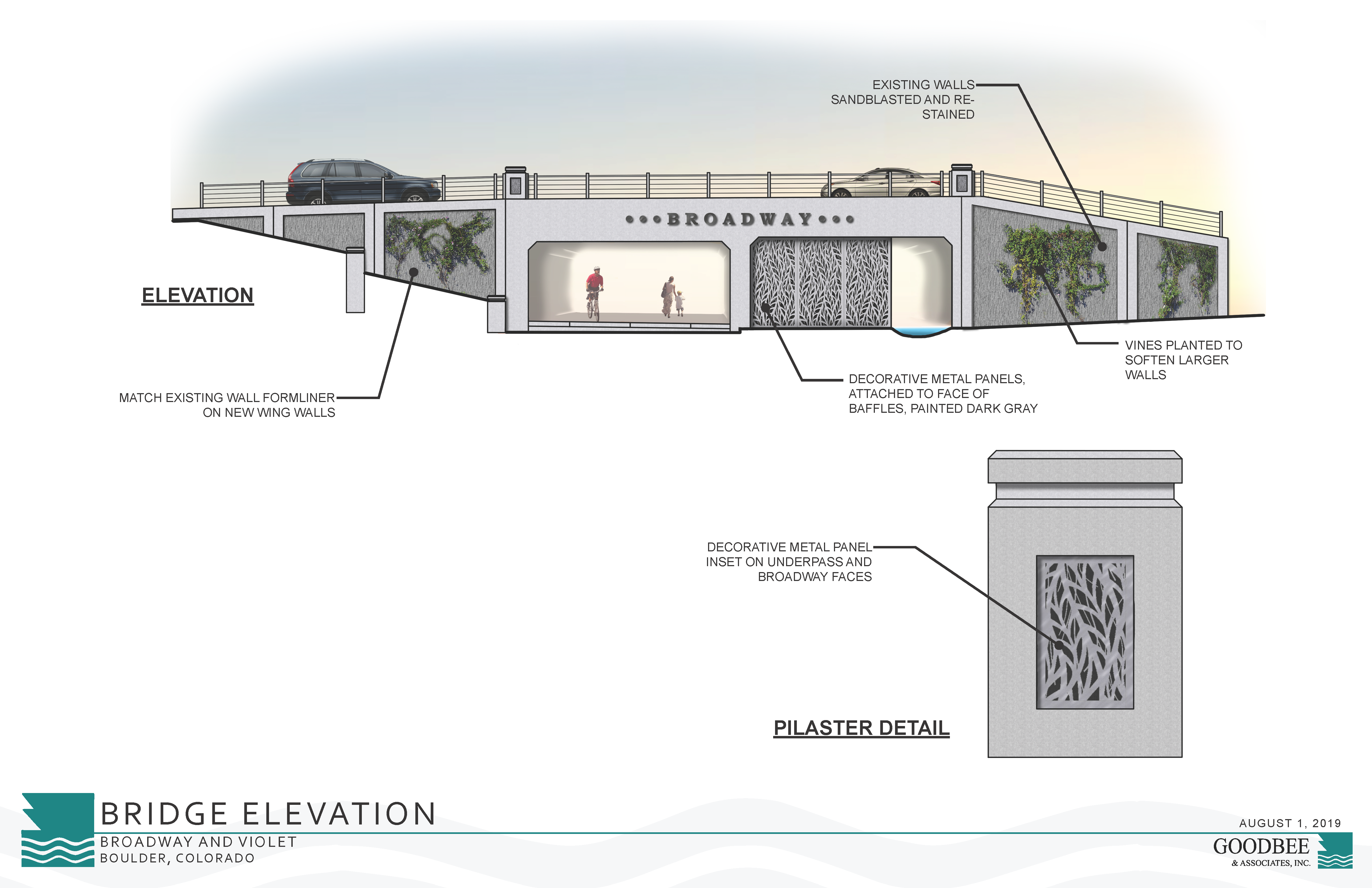
*Featured image is a conceptual rendering, does not represent final design.

The Fourmile Canyon Creek Flood Mitigation project will help provide additional flood capacity in the future.

There are several related projects in the area. Learn more on the 19th Street Improvements webpage.

Project Overview

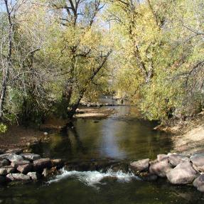
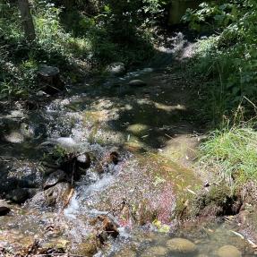
Fourmile Canyon Creek, in north Boulder, begins in the foothills west of Boulder, has a tributary watershed area of just over ten square miles and flows for approximately 11 miles before entering Boulder Creek. It is part of Boulder’s greenways system and is included in flood mitigation studies and projects.

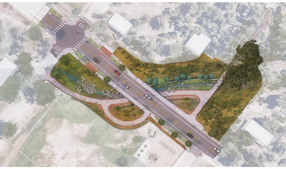
Most of the western half of Fourmile Canyon Creek is located within city limits, apart from the the section located in Boulder County, located between 19th Street and 26th Street. The eastern half is located primarily outside the city limits in Boulder County.

Fourmile Canyon Creek Projects

Broadway Underpass Improvements

As part of the North Broadway (Violet to US 36) Reconstruction project, the City of Boulder will be adding features to the underpass at Fourmile Canyon Creek to help provide additional flood capacity in the future.

The underpass will not be at full capacity until additional improvements are made downstream. The new underpass at Broadway will require a flow restriction device to be installed to mimic current flood conditions until downstream improvements are made.

19th Street Underpass

Learn more about the underpass and related projects, including project overviews and construction impacts, on the 19th Street Improvements webpage. Funding for transportation components of the project will come from the 2017 Community, Culture and Safety Tax extension. A Community and Environmental Assessment Process (CEAP) for Fourmile Canyon Creek east of 19th Street was completed in March 2012.

Summer 2022 Project Update

Fourmile Canyon Creek Mitigation Planning Information

Fourmile Canyon Creek Master Plan

The City of Boulder finalized the Fourmile Canyon Creek and Wonderland Creek Major Drainageway Plan PDF in 2011. Minor updates were added in 2017.

Fourmile Canyon Creek CEAP

A Community and Environmental Assessment Process (CEAP) is a formal review process to assess potential impacts of project alternatives in order to inform the selection and refinement of a preferred alternative.

The CEAP provides an opportunity to balance multiple community goals by assessing a project against the policies outlined in the Boulder Valley Comprehensive Plan and department master plans.

The Fourmile 19th - 22nd Streets CEAP PDF was adopted by city council in April 2012.