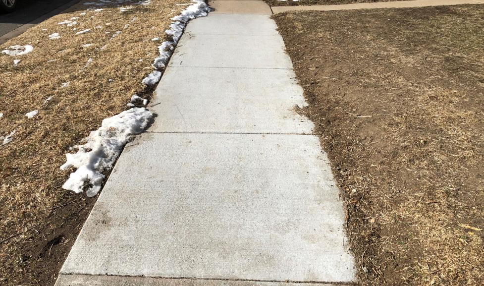
Projects for a Continuous Pedestrian Network

Identifying, prioritizing, and constructing missing sidewalk segments to provide a continuous pedestrian network and ensure a safe walking environment.

Project Overview

Constructing missing sidewalk links supports the city's Pedestrian System Plan, part of the city's Transportation Master Plan. The program supports a sidewalk system that is safe and comfortable, and ensures connections to transit.

Prioritized project lists are updated every year.

FAQ

Projects are identified by community members and then added to prioritized lists of "small" or "large" missing sidewalk links based on cost.

  • Small projects cost less than $75,000 and are completed using funds from the city's Pedestrian Facilities budget.
  • Large missing sidewalk link projects cost more than $75,000 and are prioritized and assessed for inclusion in the annual budget process.

Have a missing sidewalk link you'd like city staff to add to the priority lists below? Connect with city staff using the contact information at the top of the webpage.

The Transportation and Mobility Department prioritizes the construction of small and large missing sidewalk link projects based on several factors, including existing utility and roadway conditions. View the prioritized lists below.

Before beginning a missing sidewalk link project, the City of Boulder will inform adjacent property owners, residents and interested parties about the upcoming work.

Projects Funded for Construction

Last updated in January 2024.

Street NameStreet SegmentSegment SizeFunding Source/ProjectCompletion Estimate
19th StreetNorwood to north of Sumac Avenues, west sideLargeComponent of the 19th Street Multimodal Improvements Project, funded through CDOT's TAP & Safe Routes to School grant programConstruction in 2022
19th StreetRedwood to Sumac Avenues, west sideSmallComponent of the 19th Street Multimodal Improvements Project, funded through CDOT's TAP & Safe Routes to School grant programConstruction in 2022
47th StreetSouth of railroad crossing to Diagonal Highway, east sideSmallCDOT's Transportation Alternative Program (TAP) in 2019Construction in 2025
47th StreetSouth of intersection with Jay Road, west sideSmallProgram FundingConstruction in Fall 2021
Pearl Parkway48th Court to 49th Street, north sideSmallProgram Funding Construction in 2022
Western AvenueOn 55th Street, from transit stop to existing sidewalk, north sideSmallProgram FundingConstruction in 2023
26th StreetPine Street to Mapleton Avenue, west sideLargeProgram FundingConstruction in 2024

Prioritized List of Large Projects

Last updated in January 2024.

Street NameStreet Segment
63rd StreetMonarch Road to Coot Lake
9th StreetBaseline to College Avenue
Diagonal HighwayNorth side or westbound from 30th Street to off-ramp from Diagonal Highway
Monarch RoadDiagonal Highway to 63rd Street
Baseline RoadChautauqua Park to 12th Street, east and south sides
47th StreetWest sides, from Diag Highway to Wonderland Creek Path
28th StreetKalmia Avenue to Palo Parkway, east side
63rd StreetNorth and south of railroad tracks, west side
Linden Avenue4th Street to Broadway
Lee Hill Drive4th to 5th streets, north and south sides
Baseline RoadNorth side from Cherryvale Road to Meadow Glen Drive
Sunshine CanyonNorth side from existing sidewalk to Mt Sanitas Trail
N 71st StreetLookout Road to Winchester Circle
Dellwood AvenueFrom 9th Street to Broadway, north side
Airport RoadEdge of 3289 Airport Road (Velo Condos) to 5425 Airport Boulevard, west/north side of street
Arapahoe AvenueIn front of Flatirons Golf Course, between 55th Street and Cherryvale Road, south side
Table Mesa DriveNorth side from US-36 W on-ramp to exit to Apache Roadd/Thunderbird Drive
26th StreetMapleton Avenue to Pearl Street
Kalmia Avenue28th Street to Silverton Street, south side
Corner of Jay Road and 28th Street2788 Jay Road to 2790 Jay Road
Oak Avenue19th to 21st streets, north and south side
Orchard Avenue19th Street to Centennial Middle School, north and south sides
Concord AvenueFrom 7th Street to 9th Street pedestrian bridge
47th StreetFrom Pearl Street to Valmont Road
15th StreetHawthorn and Iris avenues, both sides of the street
Linden Avenue21st to 26th streets, north and south sides
Quince Avenue15th to 19th streets, north and south sides
4th StreetKalmia Avenue to Iris Avenue
Sumac Avenue15th Street to Broadway, north and south sides
26th StreetBetween Jay Road and Kalmia Avenue, west side
Lincoln PlaceGrandview to Arapahoe avenues, east and west sides
Kalmia Avenue19th and 22nd streets, north and south side,
University HeightsFrom Colorado Avenue to Bella Vista Lane, both sides
Laurel AvenueMcIntire Street to Crescent Drive, north and south sides
Upland AvenueBroadway to 19th Street, north and south sides
6th StreetGeneva Avenue to Rosehill Drive, west and east sides
Bluff Street1725 Bluff Street to 1895 Bluff Street
Brooklawn DriveBaseline to Pennsylvania Avenue, west and east sides
Kalmia AvenueBroadway to 16th Street, north and south sides

Prioritized List of Small Projects

Last updated in January 2024.

Street NameStreet Segment
Nautilus DriveAt Nautilus Court, south side
63rd StreetWest side (north of Arapahoe Avenue), north and south of railroad tracks
47th StreetWest side, just south of Jay Road
Spruce StreetFolsom to 28th streets, north and south side
27th StreetPine to Spruce streets, east and west side
Patton Drive1540 Patton Drive to Arapahoe Avenue, east side
Evergreen Avenue7th to 9th streets, north and south side
11th StreetDellwood to Evergreen avenues, east side
Kalmia AvenueWest of Broadway, south side
19th StreetNorwood Avenue to just south of Neher Lane, west side
Jay RoadAmber to 26th streets, north side
Aurora Avenue6th to 7th streets, north and south sides
Mapleton Avenue2600 block, south side
Bluebell Avenue15th to 16th Streets, south side
Orchard Avenue15th Street, south side
14th StreetYarmouth to Yaupon avenues, west side
16th StreetCanyon Boulevard to Grove Street, east side at bridge/culvert
10th StreetAdjacent to 970 North, west side
Aurora AvenueAdjacent to #1899, north side
Evergreen Avenue10th to 11th streets, north side
Lee Hill RoadEast of 14th to 28th streets, north side
Lincoln PlaceBaseline Road to Cascade Avenue, east side
11th StreetGrandview to Arapahoe Avenues, east side
14th StreetEnd of 3100 block where it converges with Washington Street
14th StreetNorwood Avenue to Northridge Court, east side
17th StreetNorwood Avenue to Quince Avenues, east or west side
Culver Court28th Frontage Road to Marine Street, north and south sides
Sumac AvenueCrest View Elementary to 15th Street, north side
Sumac Avenue17th to 19th streets, south side
26th StreetSouth and north of Tamarac Drive, west side
5th StreetDellwood to Evergreen avenues, east side
Marine StreetCulver Court to Marine Street east/west junction, west side
Merritt DriveCentennial Trail to Ingersoll Place, east side
6th StreetCollege Avenue to Pleasant Street, east side
15th StreetSumac to Tamarac avenues, east and west sides
Cascade Avenue9th to 10th streets, south side
10th StreetAdjacent to #601-604, south of Baseline Road
University AvenueAdjacent to #470, south side
13th StreetUpland to Violet Avenues, east or west side (one side only as per agreement)
Spring Valley RoadLinden Avenue to Lakebriar Drive, north and south sides
Riverside Avenue19th Street to Garnet Lane, north and south sides
15th StreetQuince to Oak avenues, east side
Aurora Avenue9th Street to Grant Place, north and south sides

Latest News