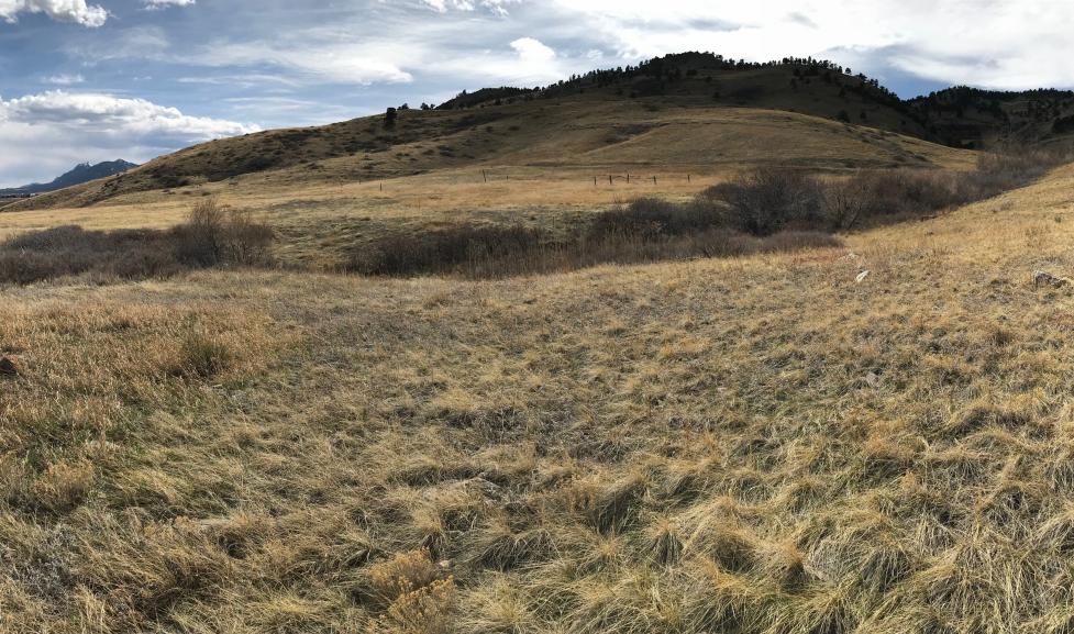
On July 22, 2024, City of Boulder Open Space and Mountain Parks (OSMP) completed construction and opened the North Sky Trail, a new 3.5-mile trail north of Boulder and west of U.S. Highway 36.
The new trail provides visitors with a connection between OSMP’s Foothills Trail in north Boulder to the Joder Ranch Trail near U.S. Highway 36 and Neva Road. It is open to hikers, bicyclists and equestrians.
To implement this project, OSMP used several trail construction approaches, including using OSMP trail crews, contractors, volunteers, youth corps crews, and community partnership, such as Boulder Mountainbike Alliance volunteer projects.
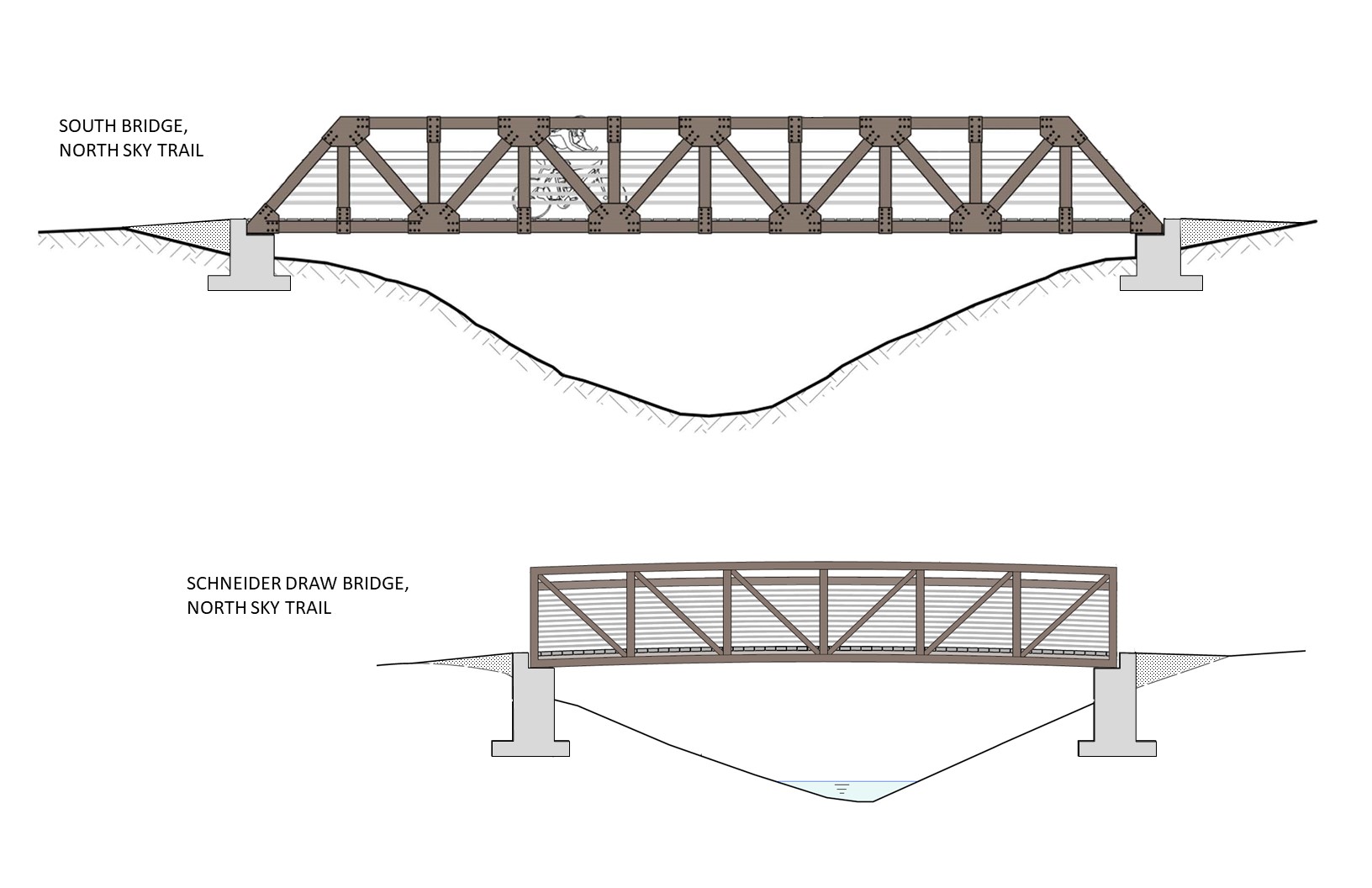
As outlined in the NTSA Plan, the trail follows sections of the existing 1880’s-constructed railroad grade. Two steel bridges were constructed – the South Bridge spanning a through-cut in the 1880s railroad grade embankment, and the other spanning the Schneider Draw drainage.
Most of the trail is natural-surface (comprised of native soils) – some locations are surfaced with aggregate base course (gravel) where terrain and soil types may result in poor drainage and prolonged muddy trail conditions.
Protecting Natural Resources
The trail traverses through habitat of Bell’s twinpod – a rare plant that is only found in a few locations in Boulder County and Larimer County, and nowhere else in the world. This plant species thrives on barren shale soils where few other plants can grow. Staying on-trail even in areas that appear devoid of vegetation is important to prevent trampling of Bell’s twinpod plants.
Throughout the trail planning and construction effort, OSMP followed guidance from biologists, Open Space Board of Trustees, and City Council to minimize natural resource impacts. The OSMP project team included staff representing expertise in trails, botany, wildlife, wetlands, and cultural resources. This team collaborated in trail design to minimize impacts to sensitive resources such as foothills wetlands, shrub-nesting bird habitat, and plant species in the area.
Trail users are required to stay on-trail to protect rare plants and habitat – the area around North Sky Trail is designated as a Habitat Conservation Area (HCA). Additionally, dogs must be on-leash and are allowed for most of the year; they are prohibited from May 1 – July 31 to protect bird nesting habitat.