Heat data shows where cooling solutions are most needed in Boulder.
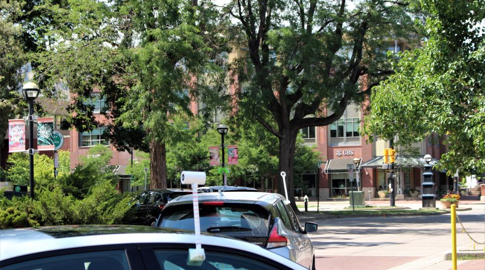
Heat data collected by community scientists this summer is now available online. The data is displayed in the form of a story map – a series of photos, text and interactive maps that narrate the volunteer-driven project and identify the hottest areas of Boulder.
Heat maps were created using temperature and humidity data collected by more than 70 volunteers who traversed neighborhoods throughout Boulder by car, bike and foot on one of the hottest days of the year. This effort was part of the NOAA Urban Heat Mapping Campaign, an initiative made possible by a partnership between the city, National Oceanic and Atmospheric Administration (NOAA) and CAPA Strategies.
Using the Data
These findings will help guide strategies that reduce unhealthy and deadly effects of extreme heat and help everyone in Boulder be more climate ready. Strategies include nature-based solutions that enhance shade and evaporative cooling, like expanding urban forests, and increasing access to high efficiency cooling systems for those most vulnerable to heat extremes.
More data analysis and details can be found in the Boulder Urban Heat Mapping story map.
“Now that we have a better picture of heat exposure across our city, we can begin focusing nature-based cooling strategies to protect and improve the lives of those most impacted by hot and dry weather. This data also illustrates the importance of a diverse, healthy and resilient urban landscape as we work to cool and protect our community.”
- Nature-Based Climate Solutions Team Lead Brett KenCairn
Get Involved
Community members can get involved in these efforts by joining the Cool Boulder campaign.


