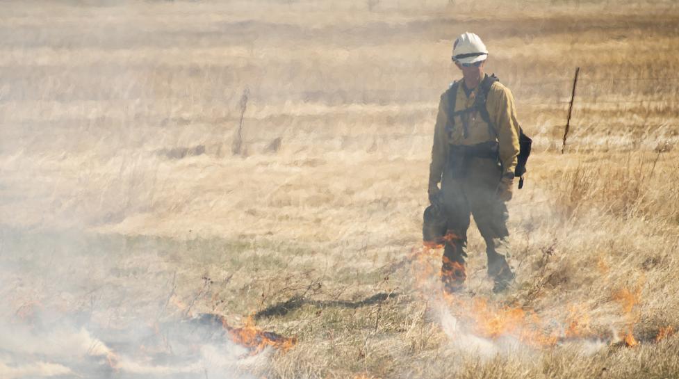
The City of Boulder plans to conduct several agricultural-related prescribed burning projects throughout 2022 to maintain agricultural properties, including ditches that provide water for open space farming and ranching operations.
The City of Boulder plans to conduct several agricultural-related prescribed burning projects throughout 2022 to maintain agricultural properties, including ditches that provide water for open space farming and ranching operations. The City of Boulder may conduct additional prescribed burning in open space areas when environmental conditions allow it to occur.
The City of Boulder only conducts burning when weather and vegetation conditions are acceptable to assure the safety of the public and minimize the potential impacts of smoke. Should weather conditions allow burning to occur, area residents, open space visitors and motorists may see smoke from city open space agricultural lands. All burning will be supervised and monitored by Boulder Fire-Rescue. Please do not call 911 since a ditch burn is not an emergency.
City of Boulder Open Space and Mountain Parks (OSMP) and Boulder Fire-Rescue are planning to conduct agricultural burns in several city open space locations, including:
-
Northeast of the intersection of Highway 119 and 55th Street.
-
Southwest and Northeast of the intersection of Valmont Road and Melissa Lane.
-
Northwest of the intersection of Jay Road and 51st Street.
-
South of the intersection of Arapahoe Road and White Rocks Trail Road.
-
Northwest of the intersection of Baseline Road and Bluebird Lane.
-
South of the intersection of South Boulder Road and Cherryvale Road.
-
Northeast of the intersection of Andrus Road and 63rd Street.
-
Northeast of the intersection of north 75th Street and Arlington Drive.
-
Several other small irrigation ditch burns in locations yet to be determined.
Prescribed burning in agricultural ditches removes vegetation from important irrigation infrastructure and helps control plant growth and invasive weed species. Visit PlannedBurns.org for more information on city prescribed burning efforts. Prescribed fire smoke may affect your health.
