City considering code changes to allow additional businesses in neighborhood centers.
The city is seeking input from community members across Boulder on what changes to their neighborhood would encourage walking and reduce dependence on vehicles to access daily services. Community members are invited to explore an interactive map to view proposed changes in 12 neighborhood centers across the city, and then answer a short questionnaire about the changes.
The City of Boulder's Use Table and Standards in the Land Use Code lay out where different businesses or "use types" can be located in the city's zoning districts. The Use Tables and Standards Project focuses on putting goals and policies from the Boulder Valley Comprehensive Plan (BVCP) related to neighborhood centers in place. The project builds on community input gathered over the last few years.
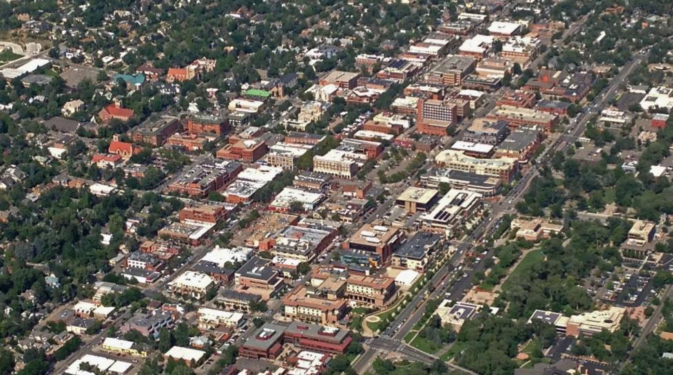
The BVCP promotes development of walkable and accessible neighborhoods, and encourages easy and safe access by food, bike and transit to neighborhood centers, community facilities, transit stops, public spaces and amenities. The plan identifies 12 neighborhood centers across the city that serve as gathering places, provide goods and services to nearby residents, workers and students and are easily accessible from surrounding areas.
“Our goal in asking the community their input on this important topic is to learn which businesses and services are lacking in the city’s neighborhood centers,” said City Senior Planner Lisa Houde. “Community members experience their neighborhoods each day and have a strong understanding of when they can find what they need in their own neighborhood and when they have to travel elsewhere for businesses and services.”
Feedback provided by community members will be considered as they city develops code changes around walkable neighborhoods. To view the map and the questionnaire, visit the city’s website.
Keep Reading
News keep reading
-
Celebrating Asian American Pacific Islander Heritage Month and Colorado’s Archaeology and Historic Preservation Month
-
City of Boulder and Boulder County Share Recommended Boulder Valley Comprehensive Plan
-
History of the Barker Gravity Pipeline
-
City of Boulder and Boulder County Release Draft Boulder Valley Comprehensive Plan