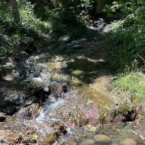
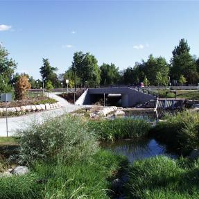
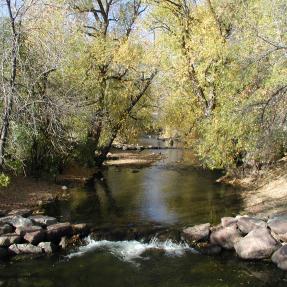
Project Overview
The City of Boulder and the Mile High Flood District are coordinating efforts to re-evaluate and map the flood risks associated with Sunshine Canyon Creek. Michael Baker International has been selected as a consultant to assist with the project.
An updated hydrologic analysis was completed in September of 2020 to determine rainfall and flood flows for different storm events. Information about the hydrologic modeling is included in a Hydrologic Analysis Memorandum PDF.