Updates
2026
- The city is continuing to gather required permits to begin construction of the project.
- In advance of construction on the site, CEI performed soil testing on the CU South site in February 2026.
2025
- City Council unanimously approved Ordinance 8690 on March 6, 2025, to authorize the city to issue $66 million dollars in Series 2025 Bonds for the first phase of the South Boulder Creek flood mitigation improvements. The bond proceeds will pay for the land acquisition and capital construction of flood mitigation infrastructure on and near the CU South site.
- Requests for Qualifications were published in March 2025, to solicit qualifications from the construction industry to construct Phase I of the South Boulder Creek flood mitigation improvements. The city anticipates qualifying a set of contractors and subsequently issuing construction bid documents this summer to solicit formal bids from qualified contractors.
2024
The February 2024 Draft Design Report is available upon request. Please reach out to Brandon Coleman to request materials or the attachments. Work on the design will continue through 2024.
- March 21 - City Council Deliberations on Open Space Disposal, Spillway Annexation Second Reading, CU South Wetlands Ordinance Second Reading. Watch the meeting.
Did you receive a notice that there may be a change in your floodplain?
An estimated 260 properties may be removed from the floodplain due to this project, resulting in both lower risk and lower insurance premiums. These properties have been notified by mail. To see if your property will be impacted, search your address in the map below.
*Floodplain changes are proposed and will not be finalized until project completion.
Background and Purpose
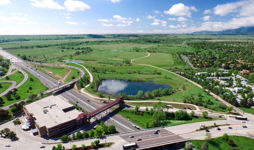
The Front Range Flood in September 2013 resulted in damaging storm runoff citywide, reinforcing the need for this project. The flood magnitude as measured throughout various parts of Boulder ranged between a 25- and 50-year event for many watersheds. Portions of lower South Boulder Creek, including the West Valley, experienced flows on the order of a 100-year flood, and water overtopped US36 which presents a safety issue and can prevent emergency services from accessing parts of the city during a flood event.
The flood detention dam will hold back floodwaters during a flood event, allowing it to safely pass downstream rather than overtopping and flooding US36 as it did in 2013. This will help prevent water from overtopping the highway and blocking vital entry and exit points during an emergency. This work also aims to protect wildlife and vegetation, including the Prebles Meadow Jumping Mouse and the Ute Ladies’ Tresses Orchid, and to restore and preserve historic South Boulder Creek floodplain.
In addition to enhancing community safety, this project aligns with the city’s climate resilience goals. The focus on flood mitigation at CU Boulder South reflects a core principle of Boulder’s Climate Action Plan: climate action is not only about reducing emissions, but also about adapting to the impacts we are already experiencing. Alongside aggressive mitigation efforts, Boulder must plan for increasing risks such as flooding, extreme heat, wildfire and drought by integrating adaptation into land use, infrastructure, nature-based solutions and emergency preparedness. In that context, CU Boulder South represents a meaningful climate resilience partnership. By restoring floodplain function, preserving open space and incorporating nature-based approaches to reduce risk, the site supports both ecological health and community safety.
This project will impact five acres of city-owned open space. Through negotiations with the university, however, the university donated 119 acres of land to the city next to the flood mitigation footprint that will be restored as natural habitat and managed as new city open space. The project also allows for future development of the CU Boulder South site by the university, which will include recreational opportunities available to the community.