Boulder has a high flash flooding risk due to its location at the mouth of several canyons and the number of people who live, work and recreate in the floodplains. One of the ways the city helps the community prepare for floods is by providing information on how to stay safe. Another is through its flood mitigation work.
Flood mitigation helps reduce the impact of flood on lives, homes and businesses by enlarging natural channels to reduce flooding and move water away from people and properties.
As Boulder grew in size, some neighborhoods were built in areas prone to flooding. When there are record amounts of rainfall, these areas bear the brunt because they were not built to withstand such a large volume of water falling in such a short amount of time.
The city has a number of ongoing flood mitigation projects to ensure the safety of our community. Collaborative efforts between the community and the city are crucial for revitalizing the watershed. Through activities like natural channel restoration, preservation, conservation and overall restoration of our waterways, we aim to foster a sustainable and resilient environment.
Check out the most recent updates on how those projects are going.
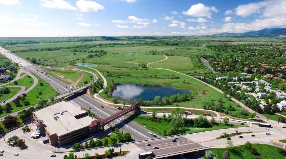
South Boulder Creek
The city has worked to identify the best flood mitigation option to enhance the safety of community members and safeguard areas in the City of Boulder prone to severe flooding from the South Boulder Creek drainageway. The primary objective of this project is to mitigate the adverse effects of floods, providing protection for community members and crucial infrastructure such as US-36 and Foothills Parkway, while minimizing impact on open space.
The project requires use of city open space, which will require approval by City Council and the Open Space Board of Trustees through a disposal request, which will be presented to the Open Space of Board Trustees at their Jan. 17 meeting.

Goose and Twomile Canyon Creek
The primary objective of this project is to protect community members, as well as public and private property, from flood-related damages. The project is designed to leverage natural features in the landscape and ecosystems, focusing on protecting vital sections of the creeks to bolster their resilience to climate change.

Gregory Canyon Creek
The city's vision for Gregory Canyon Creek is to elevate it into a premier waterway where both people and nature thrive. This involves reducing flood risks, enhancing stream functionality, and optimizing opportunities for restoring natural features to the stream. Originating in the City of Boulder Open Space, the upper watershed, situated south of the city limits, showcases diverse terrain with rock outcroppings and abundant vegetation. As the creek flows from Flagstaff Road to its junction with Boulder Creek, it transforms into a narrow, steep channel, surrounded by dense residential development. The aim is to transform this creek into a model waterway that balances urban needs with ecological restoration.
Upcoming Engagement Opportunities
Jan. 17 – Open Space Board of Trustees update on the open space disposal request for the South Boulder Creek project.
Jan. 25 – City Council Storm and Flood Study Session.
Feb. 22 – Joint City Council and Open Space Board of Trustees public hearing on open space disposal for South Boulder Creek. A decision on disposal will be made in March.
Office Hours
Join city staff to ask questions and learn more about these and other flood mitigation projects.
Location:
1001 Arapahoe Ave - Main Library
Canyon Meeting Room
Boulder, CO 80302
Goose Creek and Twomile Creek Office Hours
- Thursday, Feb. 29, 2024 – 10:30 a.m. to noon
- Thursday, March 21, 2024 – 10:30 a.m. to noon
Gregory Canyon Creek Office Hours
- Thursday, Feb. 15, 2024 – 10:30 a.m. to noon
- Thursday, March 14, 2024 – 10:30 a.m. to noon
Learn more about how to prepare for a flood