Prepare for and Respond to Extreme Weather Events

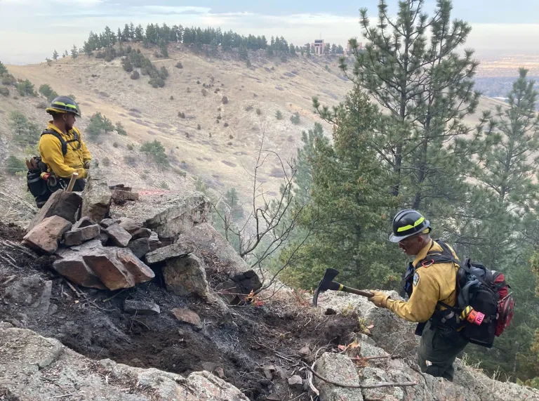
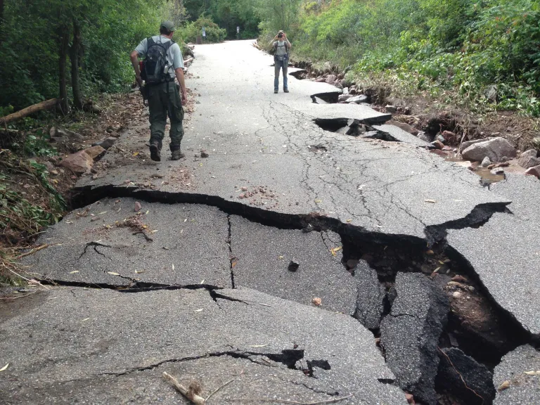
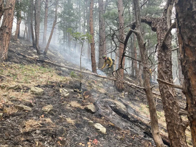
We live and work in one of the most naturally diverse settings in Colorado, and much of our natural beauty can also make us highly prone to potentially catastrophic events such as wildfires, blizzards and flash flooding. And our changing climate means that weather events like these will happen more often and with greater severity.

It’s critical that if you live or work in Boulder, you’re prepared to respond quickly if there’s a wildland fire, flood or other disaster. Use the resources on this page to prepare for and respond to extreme weather events.

Together, we can have a resilient community.

Image
Emergency Preparedness Mobile Phone Notification Icon

Boulder Office of Disaster Management (ODM)

When emergencies happen, the best source for real-time updates is the Boulder Office of Disaster Management (ODM) Emergency Status page.

Four Ways to be Prepared for an Emergency

Sign up for Alerts

Sign up below for localized Everbridge alerts to receive notifications to your cellphone in emergency situations based on your registered addresses.

Different Alert Types

The city has different categories of notifications related to evacuations:

  • Warnings mean be ready to evacuate within the next one-to-four hours
  • Orders mean leave immediately – evacuate, shelter-in-place, or climb to higher ground
  • All clear means the threat is no longer present

Learn more about how the city notifies community members at the Boulder ODM Alert and Warning System page.

Know Your Zone

Emergency evacuations happen quickly, so it is important to prepare. The City of Boulder uses Zonehaven, an interactive mapping tool, to help evacuate residents in a disaster. Zonehaven provides pre-established evacuation zones, which helps streamline the evacuation process and provides community members easy access to check evacuation status.

The city's emergency personnel coordinated with Zonehaven to divide the map of the city of Boulder into "Zones." Each zone has a corresponding number on the Zonehaven map. Emergency personnel will use the mapping tool during an emergency to plan and execute evacuations. Community members will be able to go to the map at community.zonehaven.com to check the evacuation status for their zone(s) and access critical emergency information, including evacuation points, shelters, and more.

Zonehaven does not replace the need for Everbridge or Wireless Emergency Alerts (WEA). Emergency alerts sent out to the community via Everbridge, or WEA will include a direct link to Zonehaven, providing community members with quick access to critical emergency information as soon as updates are available.

It’s important to “Know Your Zone.” Community members are encouraged to visit Zonehaven and become familiar with the platform before the next emergency.

To find your zone, visit community.zonehaven.com and enter your address into the search bar, find your zone in the pop-up window and write down the zone of your home, work, school, and places you visit often.

Image
Zonehaven AWARE Stay informed before, during and after an evacuation

Make a Plan

Creating an emergency plan is an effective way to ensure that everyone that you care for knows how to respond in the event of an emergency.

Learn about the hazards and risks in your area and talk to members of your household about what to do in different scenarios. Consider the following:

  • How will you contact one another?
  • How will you get back together?
  • What will you do in different situations?

Check on your neighbors during and after an emergency in case they need assistance.

It’s also a good idea to have a plan when hiking in case of a wildland fire. Learn how to be prepared before recreating.

Have a Go Bag Ready

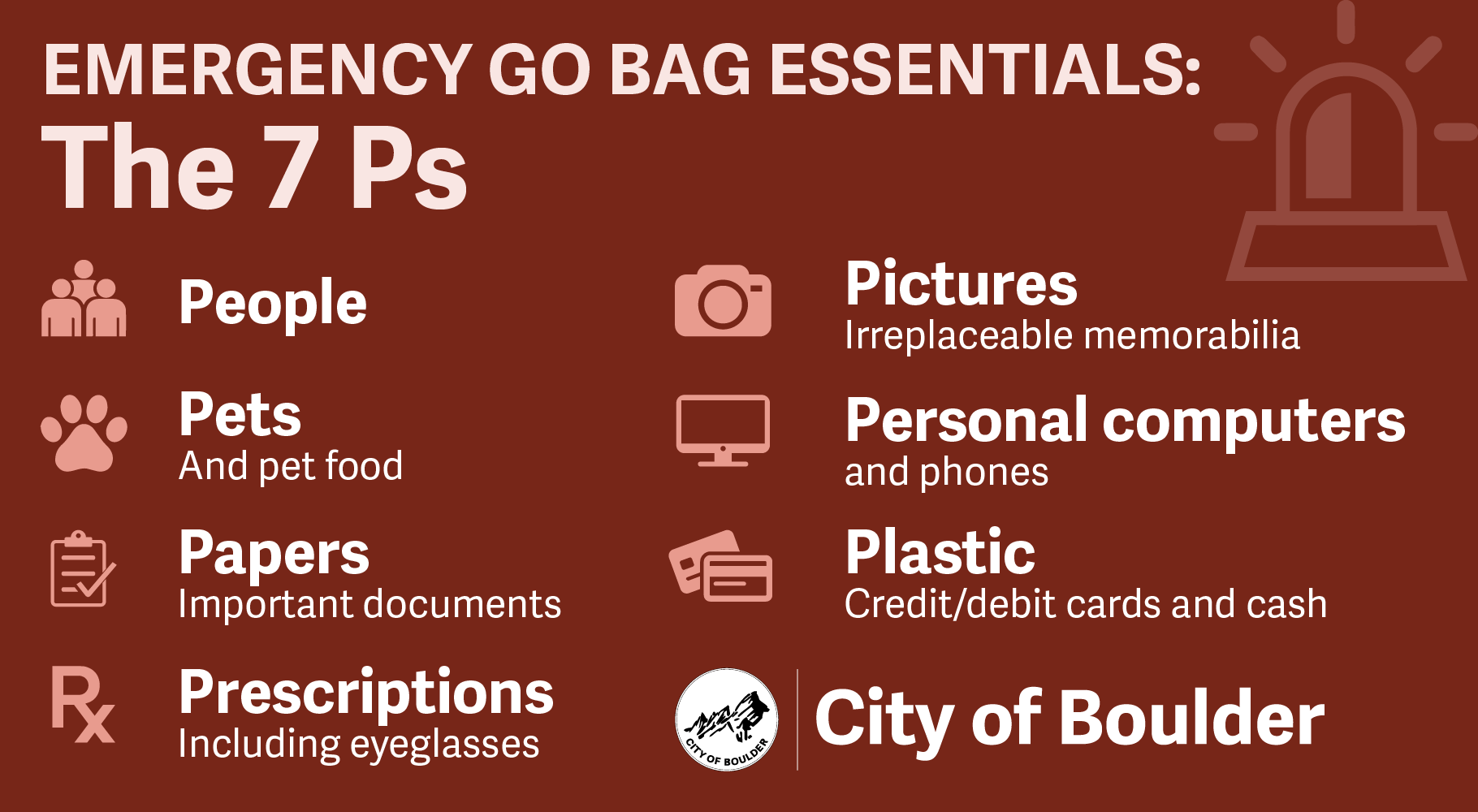
In the event of such an emergency, you may have only minutes to react. Put together a “go bag” ahead of time so you're ready to quickly evacuate if needed.

GO bag basics:

  • Water
  • Non-perishable food
  • Flashlight
  • First aid kit
  • Important documents

Image
Emergency Go Bag Essentials: People, Pets, Papers, Prescriptions, Pictures, Personal Computers, Plastic Cards and Cash

How Does the City Respond to Emergencies?

In an emergency, the city and county assemble an emergency operations center (EOC) to coordinate operations to support the safety and security of our community. This includes mobilizing emergency resources such as transportation, evacuations, and shelters; sharing information; and coordinating with state and federal agencies.

Learn more about the city’s emergency response at www.boulderoem.com/response/.

Why Is Boulder at Such High Risk?

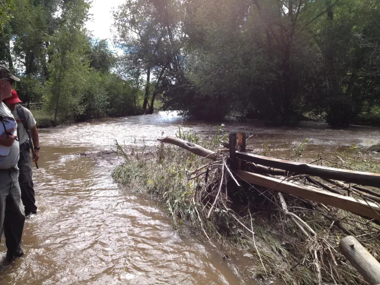
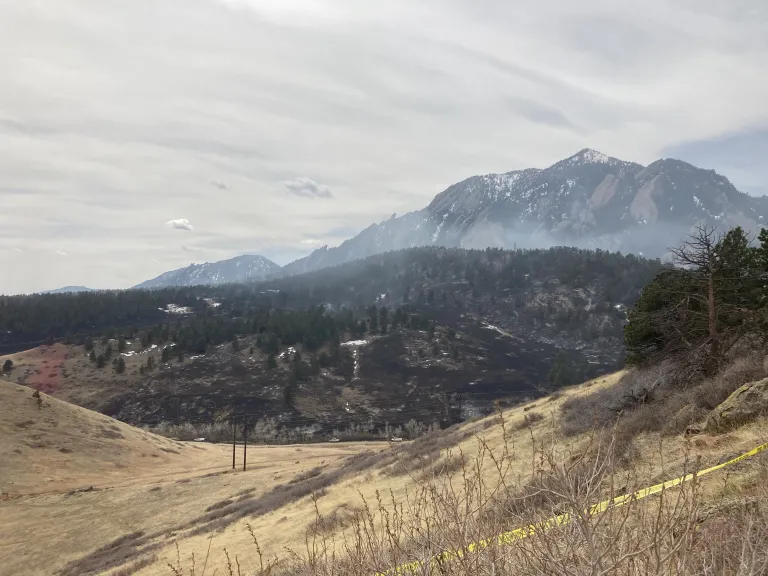
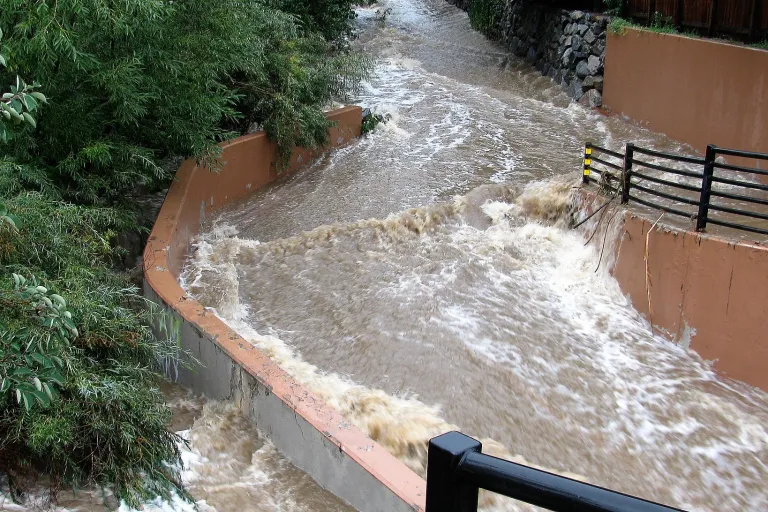
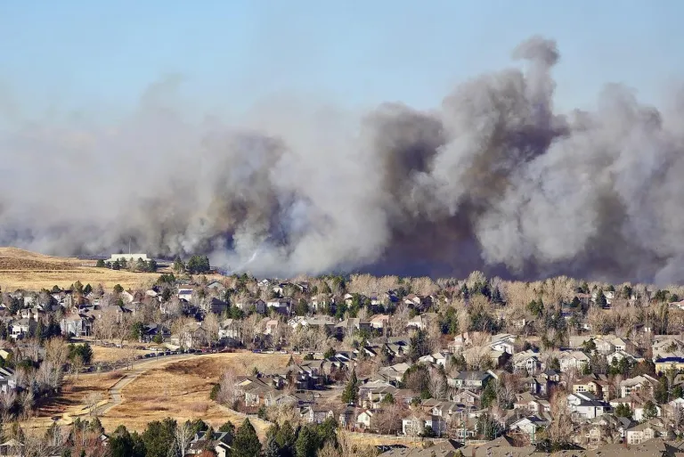
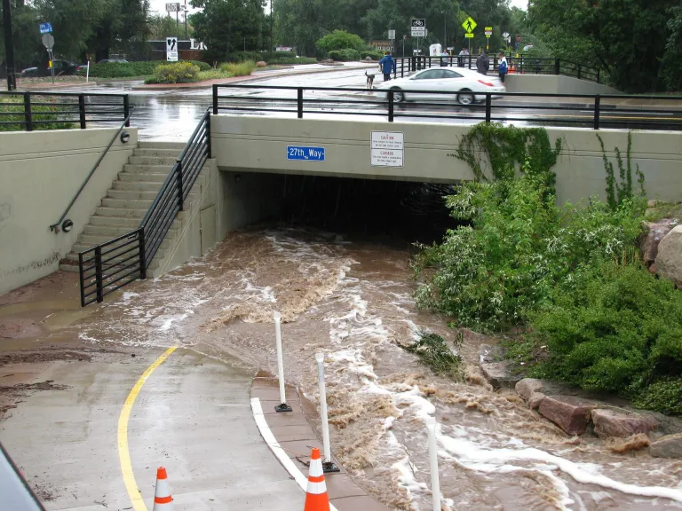
Boulder’s location at the foot of the Rocky Mountains makes for stunning views, but it also puts us at greater risk to natural disasters. Boulder’s natural terrain and location at the mouth of numerous canyons creates a constant flood risk for the city.

Fifteen major creeks pass through town, including Boulder Creek, which flows right through downtown. The Front Range is also susceptible to wildland fires and drought, which create dry, less vegetated conditions and contribute to increased flood risk. In addition, Boulder’s propensity for sudden bursts of isolated and severe storms contributes to flash flooding risk. Flooding and wildfires demonstrate the connections between Boulder’s natural environment, climate change-related conditions and the interconnections between major hazards.

Increasing global temperatures exacerbate many of these hazards for community members. A 2018 study (PDF) found that climate change is rapidly changing Boulder’s risk environment:

  • Wildland fire risk is projected to increase with projected damage from wildfires increasing by almost 50% from 2020 to 2050.
  • Severe and extreme droughts are projected to double between 2020 and 2050.
  • Increasing temperatures will impact public health costs due to extreme heat events as well as potential increases in allergy and asthma symptoms as a result of extended growing seasons.
  • More intense, short duration precipitation events will impact urban drainage systems increasing the likelihood of localized flooding