View the Fact Sheet

View the printable Fact Sheet PDF or explore this page for the web-accessible version.

PDF cover

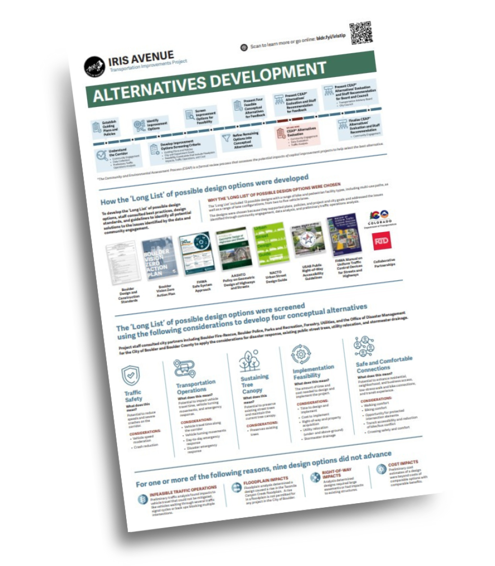
Alternatives Development

Iris timeline. Long description under long description header on fact sheet and project webpages.
*The Community and Environmental Assessment Process (CEAP) is a formal review process that assesses the potential impacts of capital improvement projects to help select the best alternative. View full timeline image.

How the ‘Long List’ of possible design options were developed

To develop the ‘Long List’ of possible design options, staff consulted best practices, design standards, and guidelines to identify all potential solutions to the issues identified by the data and community engagement.

Why the ‘Long List’ of Possible Design Options Were Chosen

The ‘Long List’ included 13 possible designs with a range of bike and pedestrian facility types, including multi-use paths, as well as a range of lane configurations, from two to five vehicle lanes. The designs were chosen because they supported plans, policies, and project and city goals and addressed the issues identified through community engagement, data analysis, and preliminary traffic operations analysis.

Covers of guideline documents and logos for Iris Avenue. Long description under Guidelines long description header on fact sheet webpage.

The ‘Long List’ of possible design options were screened using the following considerations to develop four conceptual alternatives.

Project staff consulted city partners including Boulder Fire-Rescue, Boulder Police, Parks and Recreation, Forestry, Utilities, and the Office of Disaster Management for the City of Boulder and Boulder County to apply the considerations for disaster response, existing public street trees, utility relocation, and stormwater drainage.

CaTEGORIES
Traffic safety icon

Traffic
Safety

Transportation Operations Icon

Transportation
OperationS

Sustaining Tree Canopy Icon

Sustaining
Tree
Canopy

Implementation Feasibility Icon

Implementation
Feasibility

Safe and Comfortable Connections Icon

Safe and
Comfortable
Connections

What does this mean?Potential to reduce speeds and severe crashes on the corridor.Potential to impact vehicle travel time, vehicle turning movements, and emergency response.Potential to preserve existing street trees and maintain the current tree canopy.The amount of time and cost needed to design and implement the project.Potential to enhance residential, neighborhood, and business access, low-stress walk and bike connections, and transit experience.
Considerations
  • Vehicle speed moderation
  • Crash reduction
  • Vehicle travel time along the corridor
  • Vehicle turning movements
  • Day-to-day emergency response
  • Disaster emergency response
  • Preserves existing trees
  • Time to design and implement
  • Cost to implement
  • Right-of-way and property acquisition
  • Utility relocation (under- and above-ground)
  • Stormwater drainage
  • Walking comfort
  • Biking comfort
  • Opportunity for protected intersection elements
  • Transit accessibility and reduction of bike/bus conflict
  • Crossing safety and comfort

For one or more of the following reasons, nine design options did not advance

INFEASIBLE TRAFFIC OPERATIONS FLOODPLAIN IMPACTSRIGHT-OF-WAY IMPACTSCOST IMPACTS
Preliminary traffic analysis found impacts to vehicle travel that could not be mitigated, like vehicles waiting through several traffic signal cycles or back-ups blocking multiple intersections. Floodplain analysis determined a design caused a rise in the Twomile Canyon Creek floodplain. A rise in a floodplain is not permitted for any project in the City of Boulder.Analysis determined designs required large easements or had impacts to existing structures.Preliminary cost estimates of a design were beyond costs of comparable options with comparable benefits.

This is a text alternative to the image: PDF covers of various plans and guidelines, and partner logos, including the Boulder Design and Construction Standards, Boulder Vision Zero Action Plan, FHWA Safe System Approach, AASHTO Policy on Geometric Design of Highways and Streets, NACTO Urban Street Design Guide, USAB Public Right-of-Way Accessibility Guidelines, FHWA Manual on Uniform Traffic Control Devices for Streets and Highways, and collaborative partnerships.

This is a text alternative to the timeline image. This graphic shows the Alternative Process for the Iris Avenue Transportation Improvements project. The first step was to Establish Guiding Plans and Policies. The second step was to Understand the Corridor. The third step was to Identify Improvement Options. The fourth step was to Develop Improvement Options Screening Criteria. The fifth step was to Screen Improvement Options for Feasibility. The sixth step was to Refine Remaining Options into Conceptual Alternatives. The seventh step was to Present Four Feasible Conceptual Alternatives for Feedback. The current and eighth step is CEAP Alternatives Evaluation. The ninth step will be to Present CEAP Alternatives Evaluation and Staff Recommendation for Feedback. The tenth step will be Finalize CEAP Alternatives Evaluation and Staff Recommendation. The final and eleventh step will be to Present CEAP Alternatives Evaluation and Staff Recommendation for Board and Council.

View all project fact sheets & learn more