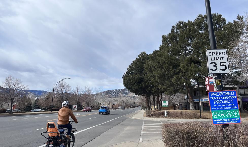
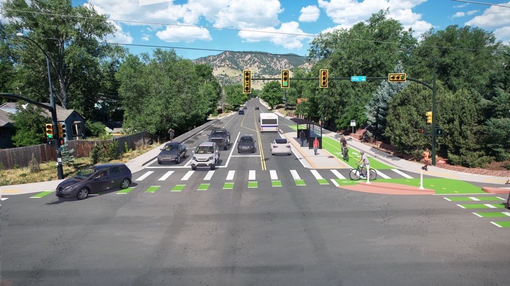
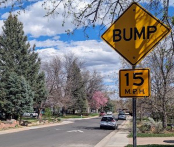
An evaluation of the recommendation showed that it will not affect air quality and the environment, including nearby streams and soil. The recommendation also preserves 92% of the existing public street trees, removing only 10-12 of our 150 public street trees on Iris Avenue.
In Detail: What about the climate?
Tree Canopy
Maintaining our tree canopy is a key part of our community’s sustainability and climate action goals. The community also shared that they want placemaking and attractive facilities – and public street trees are key to these goals. The City of Boulder Urban Forestry Strategic Plan and Boulder Valley Comprehensive Plan (BVCP) recognize the importance of the urban canopy, street trees and streetscapes, and the importance of the urban forest. There are currently 150 public street trees along the Iris Avenue project area. These trees provide the project area with 25% canopy cover. The citywide overall canopy cover is 16%.
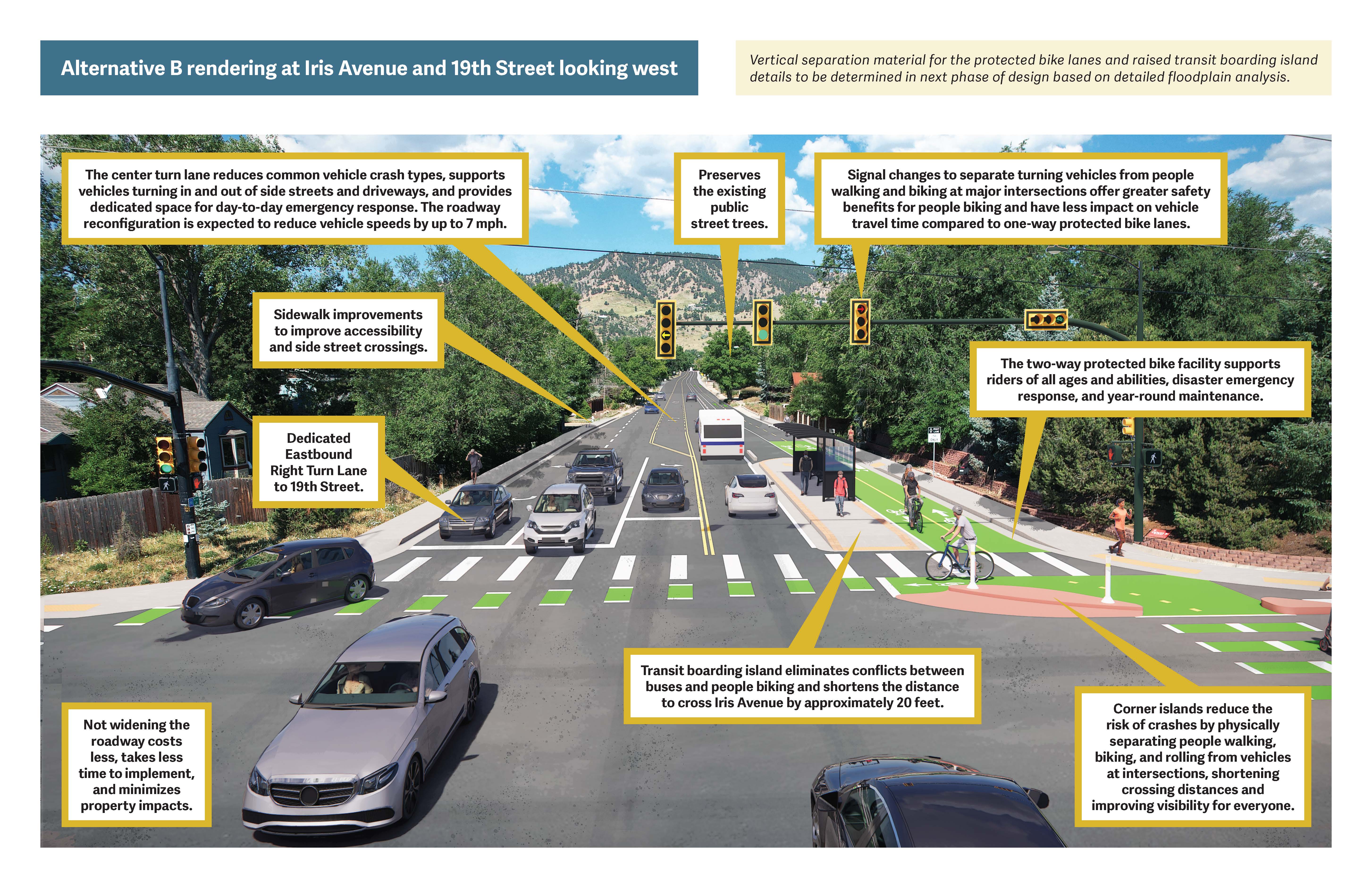
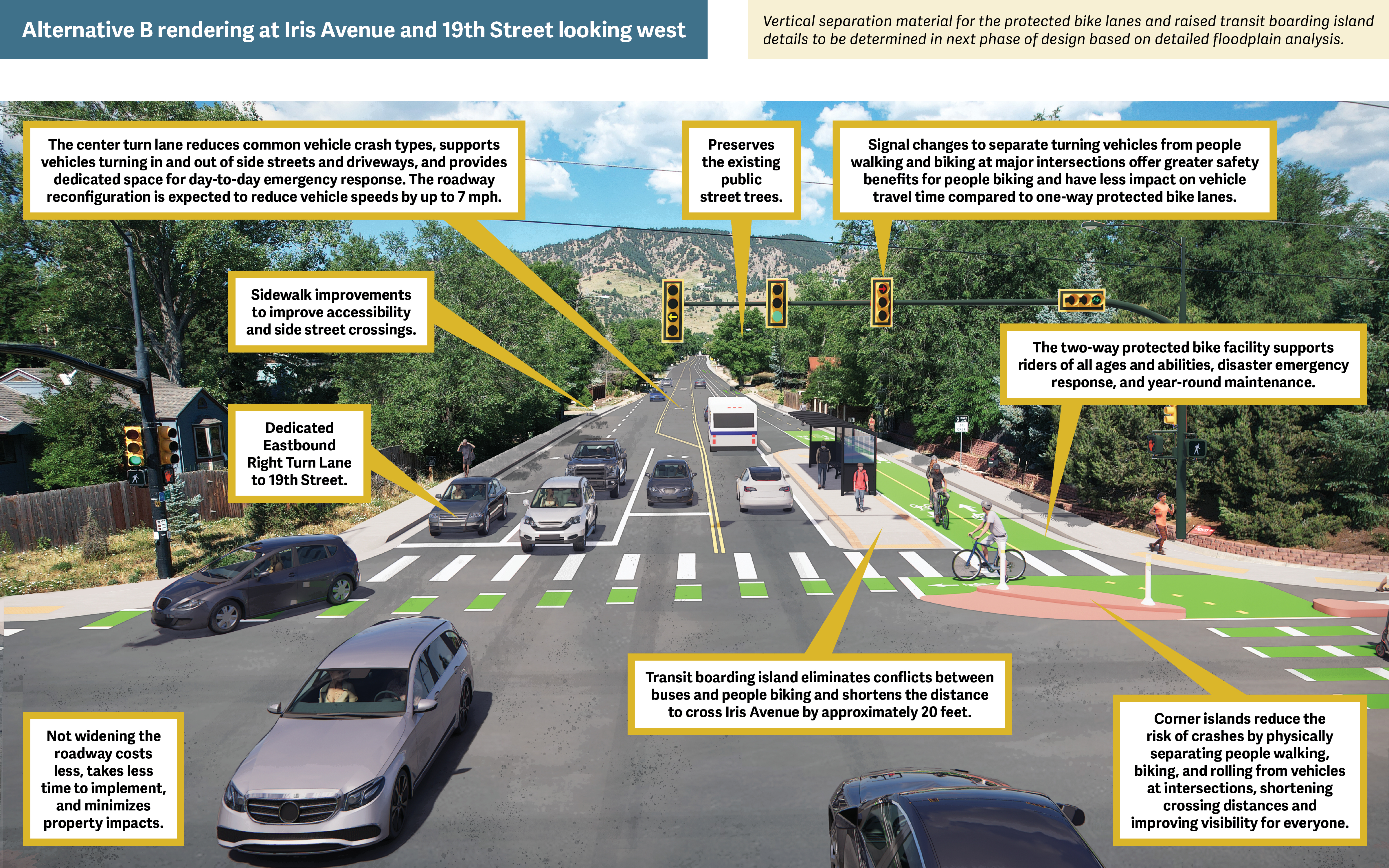
Alternative B does not require roadway widening and so only removes trees to improve sightlines or provide clear space around existing or new sidewalks and bike lanes. Alternative B has minimal impacts to existing public street trees: it will remove 10-12 trees of the existing 150 trees, or about 8% of total tree canopy on Iris Avenue, for sidewalk improvements and sightlines.
Emissions
The evaluation also measures the potential short and long-term impacts to air quality from mobile sources, like vehicle trips, and stationary sources. It showed that the recommendation does not affect air quality because the positive effects from retaining 92% of the existing public street trees and from providing safer non-vehicle travel options are offset by the potential for more emissions from increased vehicle travel time.
Environment
The recommendation does not require widening the roadway, and so makes no changes to the soil or to Twomile Canyon Creek, which is on the northeast corner of Broadway and Iris Avenue. Therefore, the recommendation does not require clearing, create an increase in hardscape (non-living landscape materials), or make changes to site ground features, like storm drainage or vegetation.
