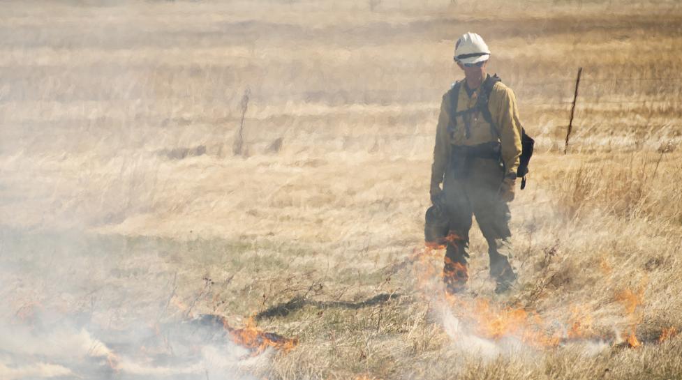
Boulder Fire-Rescue – in collaboration with the city’s Open Space and Mountain Parks Department and the Boulder County Sherriff’s Office – plans on conducting several agricultural prescribed burns in the coming months.
Boulder Fire-Rescue – in collaboration with the city’s Open Space and Mountain Parks Department and the Boulder County Sherriff’s Office – plans on conducting several agricultural prescribed burns in the following general locations:
North of Boulder
- West of the Diagonal and south of the Boulder Reservoir.
- East of North 55th Street and just north of the Boulder Reservoir
- West of North 71st and north of Monarch Road.
East of Boulder
- East of 75th Street and north of Valmont Road
- South Boulder Road and north of U.S. Highway 36
- West of 95th Street and north of Valmont Road
- West of Cherryvale Road and north of Baseline Road
- East of 63rd and South of Jay Road
The City of Boulder may burn additional agricultural areas when weather and environmental conditions allow. There may be smoke in the air. Please do not call 911 since these burns are not emergencies.
The city conducts agricultural prescribed burning to help maintain open space agricultural properties, including ditches that provide water for open space farming and ranching operations. Prescribed burning in agricultural ditches removes vegetation from important irrigation infrastructure and helps control plant growth and invasive weed species.
As a reminder, Boulder and our partner agencies schedule prescribed burns with significant consideration of multiple requirements. When the city implements a prescribed burn, firefighters trained in preparing, lighting, and supervising prescribed fires will manage a team of certified firefighting staff to confine and contain the burn.
Due to the complex nature of planning prescribed burns, we cannot state what exact days we will burn. Therefore, when conditions are appropriate, the city will release additional information on the prescribed burn for that day.
More information on prescribed burns on Boulder property
More information on the health impacts of smoke
