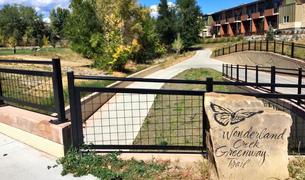
Wonderland Creek Channel Improvements
The City of Boulder is partnering with the Mile High Flood District to conduct improvements and reestablish a low-flow channel to Wonderland Creek between 19th Street and Sumac Pond.
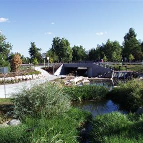
Winding Trail to Foothills Parkway
The Wonderland Creek project was completed in 2019. The project extends from Foothills Parkway in the south to Winding Trail Drive in the north. The purpose of this approximately $30M project was to provide channel improvements to contain a 1% annual chance flood (100-year flood). By creating these improvements, the city has reduced the flood risk to numerous structures located within the 1% annual chance flood area prior to the project. In addition, three new underpasses were constructed (1. at the BNSF Railroad 2. Kalmia Ave. 3. 28th Street) to provide safe passage for pedestrians and cyclists as the multi-use path system was extended from Foothills Parkway to 30th Street.
Remapping
The city has received approval of the Letter of Map Revision from FEMA. The new floodplain took effect on March 18, 2024.
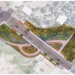
Wonderland Creek at 19th Street
The City of Boulder's Transportation Department is currently in the design phase for improvements to 19th Street. Modifications to the Wonderland Creek culvert at 19th Street will be incorporated into this transportation project to assist with future flood mitigation efforts along Wonderland Creek.