Project Overview
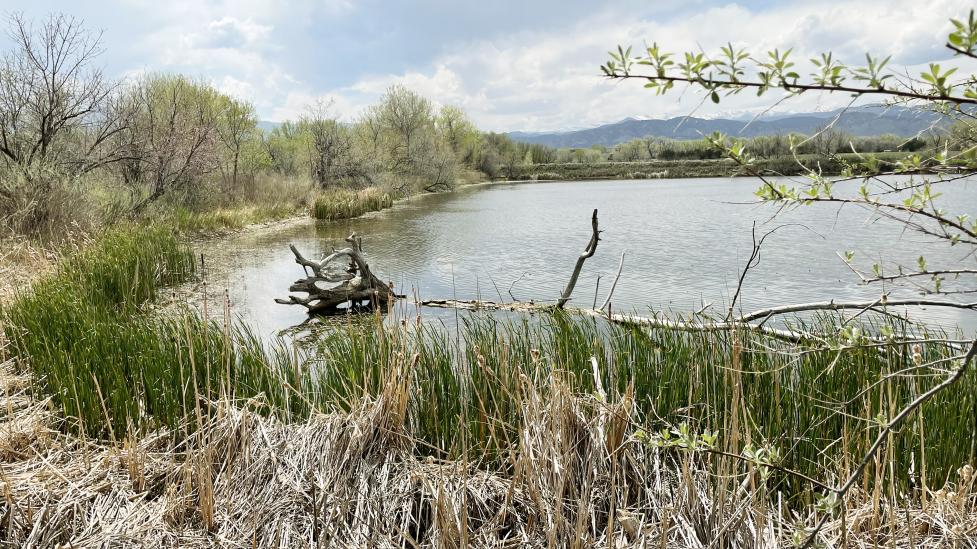
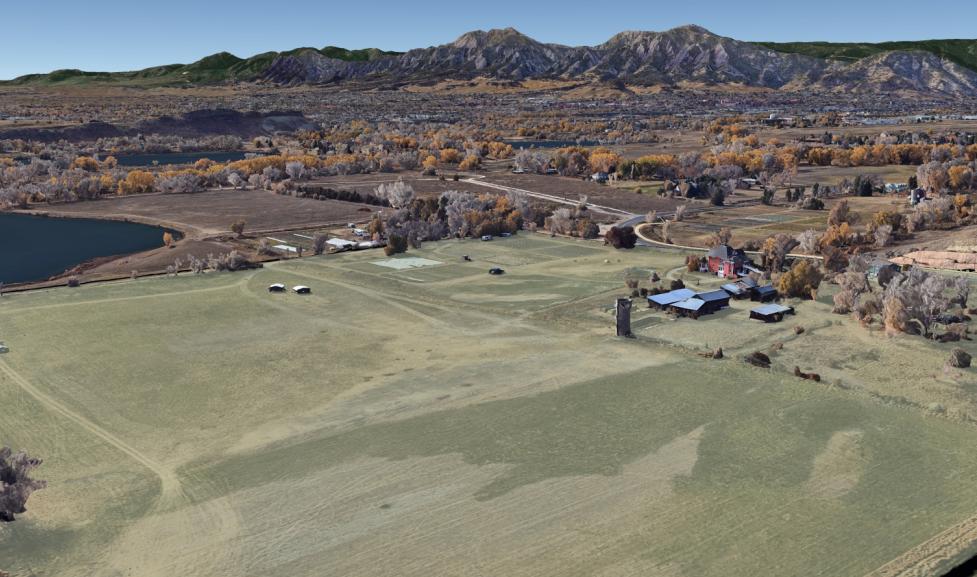
The City of Boulder thanks Arapaho and Cheyenne Tribal Nations for working with the city to develop a collaborative stewardship plan for a unique city open space site with important historical, ecological and agricultural features and a direct connection to the Sand Creek Massacre. The site is located near Boulder Creek east of 63rd Street and south of Jay Road.
Learn more about this unique land through an ArcGIS storymap
Draft Concept Plan
OSMP closely collaborated with Representatives of Cheyenne and Arapaho Tribal Nations to understand their desired long-term relationship with this site and develop a draft Concept Plan with recommendations for how the city – with continuing guidance from Tribal Representatives – will care for the land.
The plan is based on a shared vision for the future: “Heal the Land; Heal the People” and envisions a healing place for all: community members, visitors, wildlife and natural ecosystems.
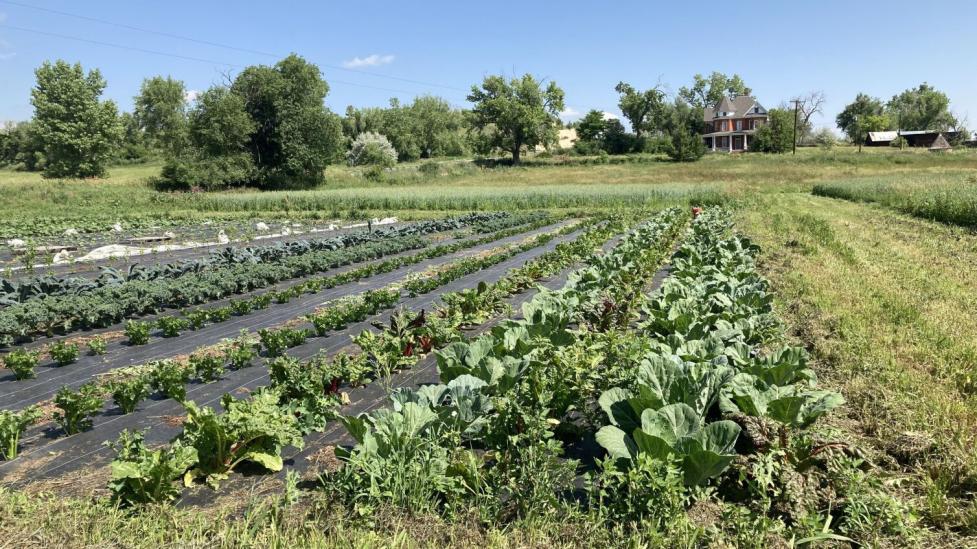
The Concept Plan includes recommendations for an interpretive, healing trail with educational elements, enhancements to existing agricultural operations and large-scale, ecological restoration along the Boulder Creek corridor.
Community Feedback
The city and Arapaho and Cheyenne Tribal Representatives thank community members for providing feedback on the draft Concept Plan through an online questionnaire from Monday, March 25, through Sunday, April 14. We received more than 473 completed questionnaires and many written comments. In addition, OSMP staff heard directly from dozens of community members during in-person listening sessions and through emails and long-form comment submissions.
Initial questionnaire results indicate strong community support for the city’s collaborative efforts with Cheyenne and Arapaho Tribal Representatives (86% strongly support, 6% somewhat support) and the recommendations included in the draft concept plan:
- Ecological restoration to “heal the land” (84% strongly support, 9% somewhat support)
- An interpretive, healing trail to “heal the people” (83% strongly support, 8% somewhat support)
- Continued agricultural operations (54% strongly support, 23% somewhat support)
OSMP staff are currently analyzing community feedback to review with Tribal Representatives. A more detailed report of the community input will be included when available.
Next Steps
The city will review public input on the draft concept plan and consider revisions with additional guidance from Tribal Representatives. Open Space and Mountain Parks staff anticipate presenting community feedback on the plan to the city’s Open Space Board of Trustees this summer. After the concept plan is finalized, specific plan elements will be further developed with guidance from Tribal Representatives.
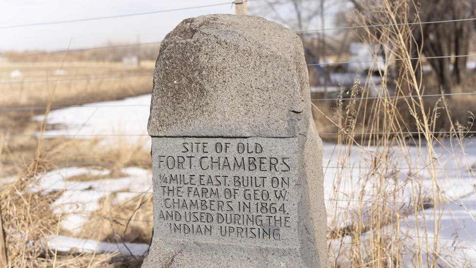
The city recognizes the "Fort Chambers / Poor Farm” name is not consistent with the new vision of creating a healing and welcoming place for all. We look forward to future discussions of possible new names for future trailhead/trails with Tribal Representatives.
Read more about how the city has been working to develop the concept plan in collaboration with representatives from the Cheyenne and Arapaho Tribes, the Northern Arapaho Tribe and the Northern Cheyenne Tribe.