Flood mitigation projects help reduce damage due to flooding, improve community safety and potentially save lives.
As of March 18, 2024, the City of Boulder has a new 100-year floodplain map for Wonderland Creek from Foothills Parkway to Winding Trail. The new map will be used to regulate the floodplain and determine federal flood insurance rates.
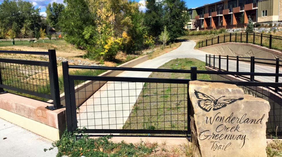
The updated map is a direct result of the city’s flood mitigation efforts in this area. In 2019, the city completed channel improvements along Wonderland Creek between Foothills Parkway and Winding Trail Drive to modify the 100-year floodplain. The purpose of this approximately $30M project was to contain a 100-year flood, which is the 1% annual chance an area will flood.
By creating these improvements, the city has reduced the flood risk to numerous structures that were located within the 100-year floodplain before the project. In addition, three new underpasses were constructed to provide safe passage for pedestrians and cyclists on the city’s multi-use path system. This project also brings to life how nature-based design solutions can be used to enhance greenspace and bring natural elements into an area’s aesthetic.
Flood mitigation helps lessen the impact of a flood on lives, homes and businesses by enlarging natural channels to reduce flooding and move water away from people and properties. The city engages in flood mitigation projects to increase protection of public and private properties, reduce damage due to flooding, improve community safety and potentially save lives.
“Flood mitigation projects can take decades to complete, which makes it difficult to see the benefits this work brings to our community in real time,” said the city’s Engineering Projects Manager Brandon Coleman. “The new floodplain map is a tangible result of our efforts to enhance our community’s safety and brings to a close a fifteen-year project on Wonderland Creek.”
The Comprehensive Flood and Stormwater Plan is the guiding policy document for Boulder's Stormwater and Flood Utility and helps identify and prioritize where the city should focus its flood mitigation efforts. The plan aims to help protect people, places, property and ecosystems in a way that builds resilience and is consistent with community values. It is one of the first to be informed by both the city’s climate goals and Racial Equity Plan to help improve outcomes for all by addressing systemic racial inequity
View the Floodplain Information Map to learn more about floodplains in the City of Boulder.