Stewarding Land for the Boulder Community

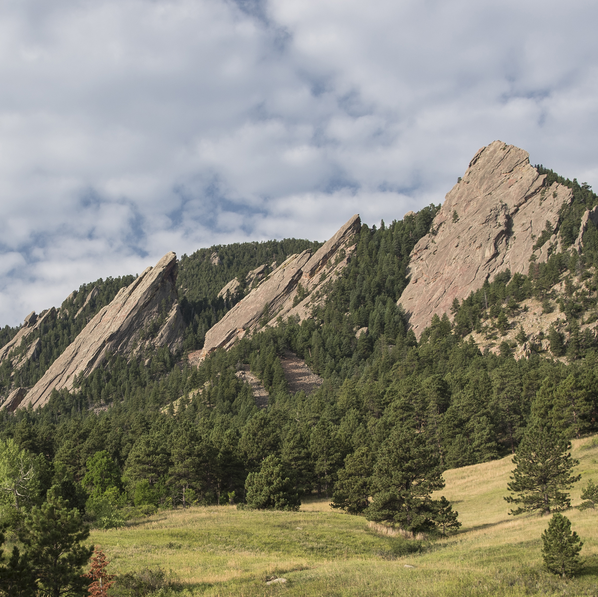
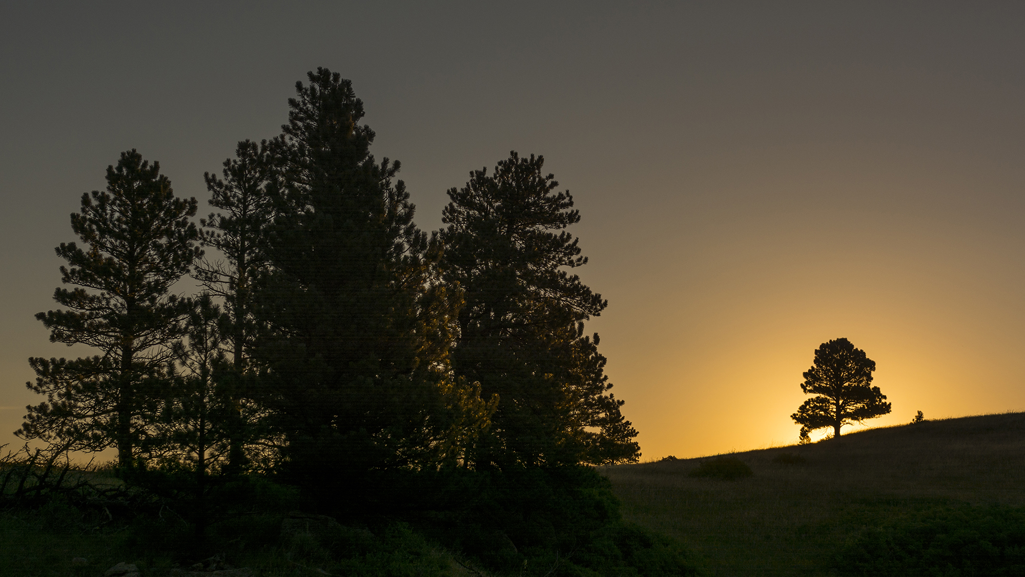
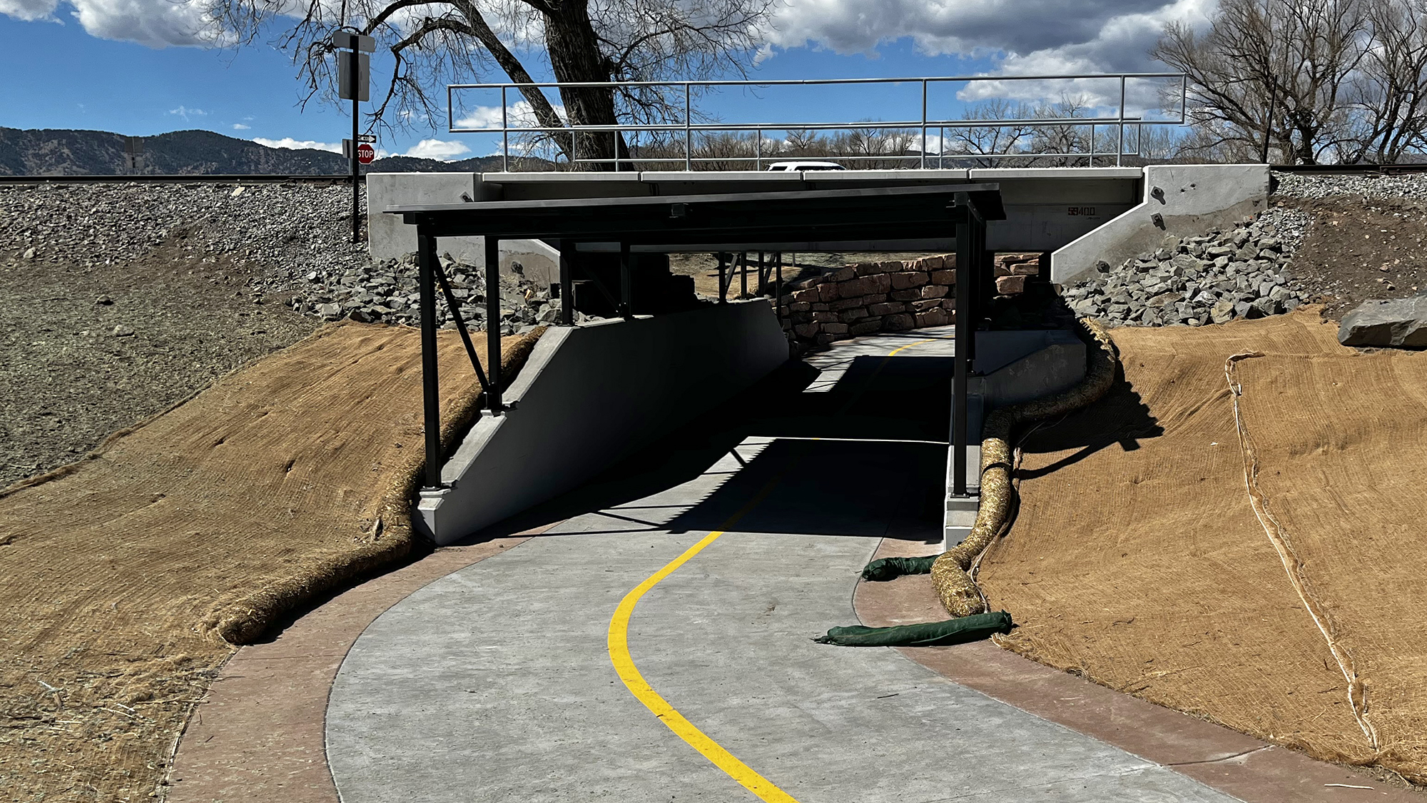
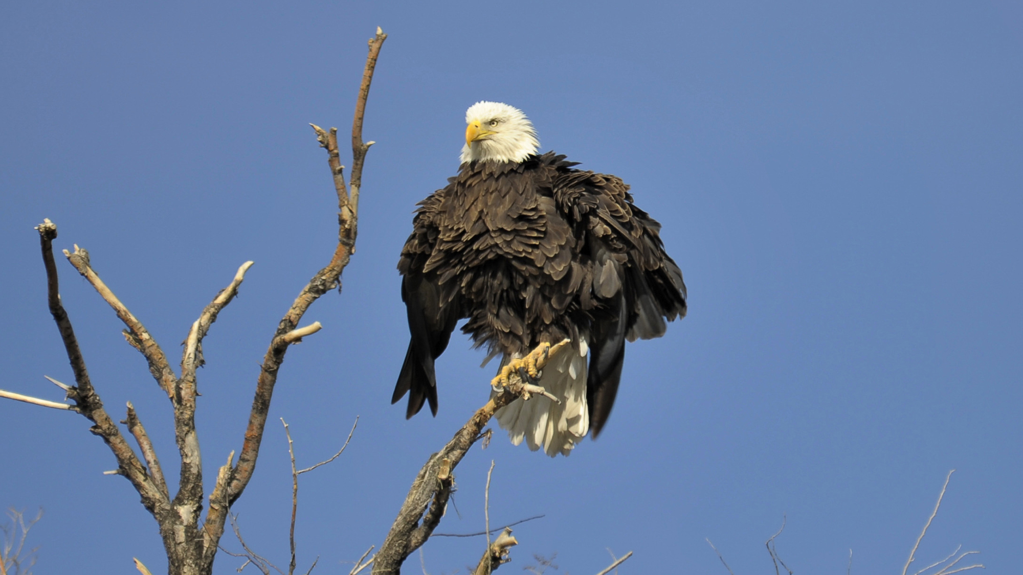
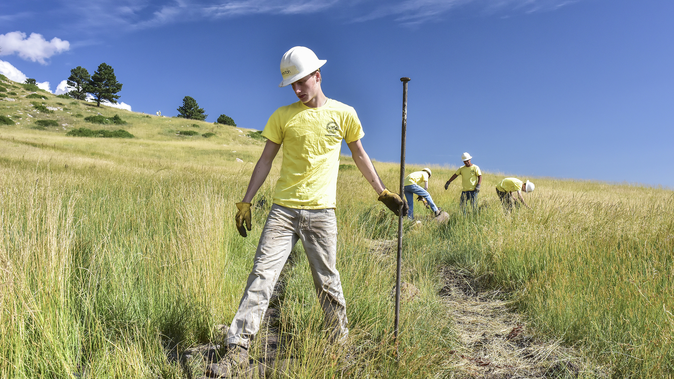
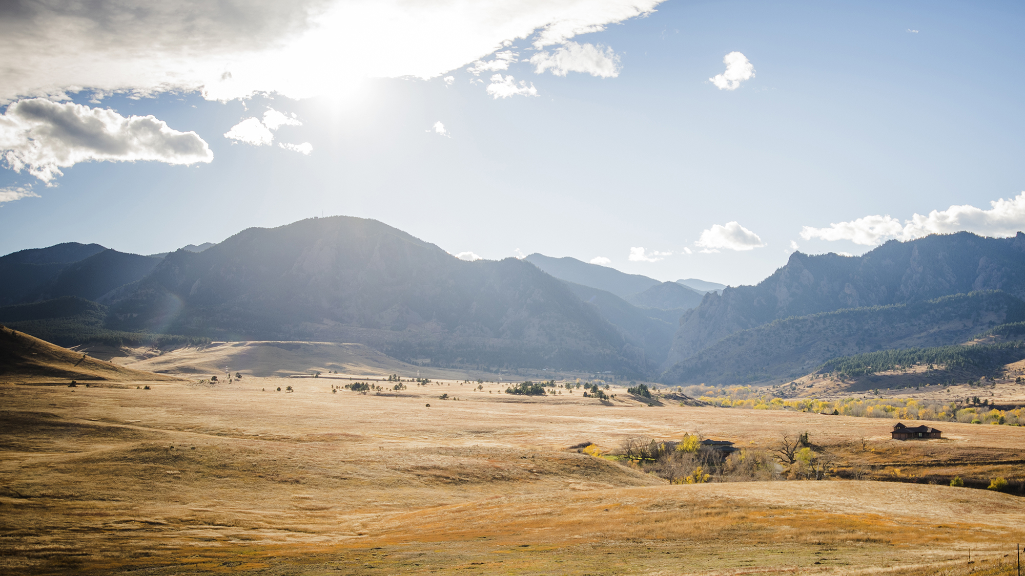
Discover the important work happening in Boulder's remarkable Open Space and Mountain Parks (OSMP)! Our 2025 projects focus on protecting sensitive habitats, restoring ecological balance, and improving responsible recreation opportunities. This work reflects a commitment between the City of Boulder, the community and Tribal Nations with a special and enduring connection to this land, ensuring these spaces remain places of inspiration, healing, and belonging for generations to come.

The Boulder Flatirons as beautiful white clouds float past

Explore Major 2025 Projects!

In 2025, Boulder’s Open Space and Mountain Parks (OSMP) is advancing key projects to help our community enjoy and protect the lands that generations have worked to conserve – ensuring future generations can continue to connect with these remarkable places. 

Explore the significant ecological, recreational, agricultural, and wildfire resilience projects underway or planned in 2025 through our interactive project web map. Dive deeper into the many open space projects and programs the city is working on by scrolling through this webpage.

Navigate the 2025 Project Webpage

Discover the major projects we're working on in 2025 by exploring key focus areas from City of Boulder Open Space and Mountain Parks' long-term strategic plan PDF: 

Stay Informed: Follow OSMP Projects Throughout 2025
Connect with Boulder's Open Space and Mountain Parks to get the latest news, project updates and nature education information. Sign up for the "Field Notes" e-newsletter and follow us on Instagram,X (formerly Twitter) and  Facebook.

Silhouetted tree stands against a colorful sunrise, with warm orange and yellow hues lighting the sky.

In 1986, Boulder voters adopted specific open space purposes into the city charter—establishing a clear vision for how these lands should be protected, managed, and enjoyed. Today, those community-driven purposes guide all of Open Space and Mountain Parks’ management plans and daily work.

Responsible Recreation, Stewardship & Enjoyment

Focus Area Overview

We are united by our connection to and enjoyment of nature and our obligation to protect it.

Our community’s long-term investment in open space has paid dividends for each generation of community members, providing stunning landscapes and inspiring natural areas with trails and trailheads for all to enjoy long into the future. From hiking, biking, and climbing to birdwatching, photography, and quiet contemplation, OSMP lands offer accessible and challenging terrain for all abilities. Learn more about this focus area in OSMP's Master Plan PDF.

Select 2025 Projects

See where we're improving trails and encouraging responsible enjoyment of open space through our project web map.

Trail Projects

  • Mount Sanitas Trail:  Starting in June 2025, Open Space and Mountain Parks (OSMP) will begin critical repairs and maintenance on Mount Sanitas, focusing initially on summit area improvements along the main trail and the East Ridge. This multi-year effort is supported by a significant $1.1 million grant awarded to the City of Boulder from the Land and Water Conservation Fund (LWCF), which will fund trail restoration and enhancements within the Mount Sanitas complex over the next three to five years. To further support these improvements, OSMP is partnering with Boulder Open Space Conservancy, the department's official philanthropic partner—to continue fundraising for this important trail and ecological restoration work.
    • Time Frame: Work expected to begin in June.
    • Trail Closures: No closures are anticipated, but visitors may experience intermittent delays.
  • Shale Trail: With OSMP recently completing a re-route of part of the Eagle Trail, the department has started work on the new Shale Trail, which will connect the Boulder Valley Ranch Trailhead to Eagle Trail. The new trail will be open to hikers and horseback riders only, providing a non-bike option in the Boulder Valley Ranch area. Construction of Shale Trail is expected to continue through spring, with completion anticipated in summer—weather permitting. When Shale Trail is complete, nearby undesignated trails (social trails) will be closed and ecologically restored to protect grassland habitat, especially Bell’s twinpod plants which are only found in a few locations in Boulder and Larimer Counties.
    • Time Frame: Work is now occurring with work expected to be completed in the summer, weather dependent.
    • Trail Closures: There are no trail/area closures associated with Shale Trail construction.
  • Foothills North Trail Re-Route: OSMP will re-route the Foothills North Trail from the Foothills Trailhead along U.S. Highway 36 west to the North Sky Trail junction and from the North Sky Trail south to Dakota Boulevard. The project will include a short re-route of the lower part of Hogback Ridge Trail and improvements to the neighborhood access trail at Second Street and Denver Street in the Dakota Ridge neighborhood. The goals of Foothills Trail work are to provide a sustainable trail alignment that is less prone to erosion and alleviate seasonal muddy conditions where feasible. The trail will be designed and constructed to provide foot, mountain bike, and horse access. It will also accommodate adaptive mountain bikes – which are hand-pedaled cycles used by community members experiencing disabilities – linking together similar type trails south to Wonderland Lake and east through Boulder Valley Ranch.
    • Time Frame: December 2025 through December 2026.
    • Trail Closures: Closures of some trail sections during trail construction will likely be required to provide for public safety in work zones.
  • Saddle Rock Trail Reroute:  This summer, the city will continue a multi-year trail project near the First Flatiron aimed at improving trail sustainability and creating new recreational opportunities. The project addresses issues with the current alignment and will establish a new trail connecting to several key routes, including the E.M. Greenman Trail, First-Second Flatiron Trail, popular First Flatiron climbing descents, Spy Trail and Amphitheater Trail.
    • Time Frame: Work is expected to occur in the summer and fall.
    • Trail Closures: No trail closures are anticipated.
  • Hidden Valley & Degge Trail Reroutes:  In the summer, OSMP Trail staff and partners will begin construction on reroutes for the Hidden Valley and Degge Trails. This project aims to create more sustainable trails, protect the area's natural and cultural resources, and enhance visitor experiences. The redesigned trails will be multiuse—welcoming pedestrians, equestrians, and cyclists—and will also be specifically designed to accommodate adaptive mountain bikes, improving access for visitors experiencing disabilities.
    • Time Frame: Work is expected to begin this summer and continue into 2026.
    • Trail Closures: No trail closures are anticipated.
  • Red Rock Trail Repairs: OSMP anticipates continued trail repair work in west Boulder, with work focused on improving sustainability with improved drainage and steps. Some reroutes may be constructed while closed undesignated trail sections will include restoration work and fencing.
    • Time Frame: Work is expected to begin this summer.
    • Trail Closures: No trail closures are necessary.
  • 1st/2nd Flatiron Trail: OSMP plans continued trail repair work in the Flatirons area to enhance trail sustainability with improved drainage, walls and steps.
    • Time Frame: Work is expected to begin this summer.
    • Trail Closures: OSMP anticipates instituting closures from 8 to 5 p.m., Monday-Thursday, while trail crews conduct repairs.
  • Shanahan Ridge-Area Trail Connector Improvements: Several trail projects focusing on connectivity and condition are underway on Shanahan Ridge. Crews are addressing trail sustainability issues on the Lehigh Connector North Trail, including widening, drainage problems, and rock obstacles. Additionally, new connectors are being built and designated between the North Fork Shanahan and Shanahan Connector trails to further enhance trail connectivity.
    • Time Frame: Work is expected to begin this summer.
    • Trail Closures: No closures are anticipated.
  • Trail Drainage Maintenance and Repairs: OSMP will conduct maintenance along the many trails to ensure that drainage features are functioning properly and repair washed-out sections. Work is planned to occur along the: 1) Sanitas Valley Trail; 2) Mesa and Shadow Canyon South Trails; and 3) Mesa NCAR-Bear Canyon Trails.
    • Time Frame: August 2025 – November 2025
    • Trail Closures: The Sanitas Valley Trail will likely be closed for public safety due to the presence of heavy equipment. Mesa and Shadow Canyon South closures are not expected, though trail users may need to wait a few minutes to safely pass heavy equipment in operation. Closures are also not expected for Mesa NCAR-Bear Canyon; however, visitors may experience intermittent delays.

Trailhead Projects

  • Marshall Mesa Trailhead: The area is getting a major upgrade focused on better access and visitor experiences. OSMP is improving vehicle/shuttle flow and parking, adding a new accessible trail connection from the trailhead and creating a link to a Colorado Department of Transportation parking lot. Visitors will be able to enjoy enhanced amenities, including a replaced restroom, a new shade shelter, plus more bike racks, tables and benches. There also will be new navigational and interpretive signage.
    • Time Frame: Improvement work is planned to begin Monday, April 28, and is expected to be completed in the fall.
    • Trailhead Closures: The trailhead is closed. However, visitors can access most of the Marshall Mesa trails. Bicyclists can complete the full "Dirty Bismark" loop. Learn more about access and view access maps.
  • Chapman Drive Trailhead: OSMP is working on major upgrades at Chapman Drive Trailhead for enhanced safety, accessibility, and amenities. A new, accessible pedestrian bridge will separate trail users from traffic and connect across Boulder Creek to the Boulder Canyon Trail, complemented by improved accessible parking spaces and paths. Visitors will also find enhanced amenities including more bike racks, an accessible picnic table, and a bike-fix station. Learn  more about the project.
    • Time Frame:  Work has begun with full trailhead improvements expected to occur through the summer.
    • Trailhead Closures: The Chapman Drive Trail and the existing vehicle bridge from the highway and Chapman Drive Trail will remain open.  A recently constructed underpass that connects the Boulder Canyon Trail to the Chapman Drive Trailhead will be closed for approximately three months to install the new bridge, weather permitting. Learn more about trail access and view an access map.
  • Sawhill Ponds Trailhead: The city is upgrading the Sawhill Ponds trailhead to enhance visitor experience, education, and accessibility. Key improvements include constructing a new youth nature discovery area, adding a fishing pier, upgrading the bird blind, enhancing bus parking, and creating a short trail loop. Importantly, parking and pathways will be improved to provide better access to the pier and picnic areas for visitors experiencing disabilities.
    • Time Frame:  Work began at the trailhead and is expected to be completed this fall.
    • Trailhead Closures: The trailhead is closed. However, visitors can access the Sawhill Ponds Trail loop during the trailhead closure through the Walden Ponds Wildlife Habitat trailhead and the Walden Ponds Trail to the north. Walden Ponds is managed by Boulder County Parks & Open Space and subject to  county regulations.
  • Flatirons Vista Trailhead Improvements: OSMP will redesign the Flatirons Vista parking lot for better capacity and safety, increasing total spaces and adding clearly designated trailer parking. Site upgrades include improved bike racks, climate-resilient plantings, and ensuring facilities meet current standards. The outhouse will also be replaced with the new restroom relocated away from a flood-prone drainage area to improve accessibility, especially for visitors connecting from Greenbelt Plateau.
    • Time Frame: Work is expected to begin in the fall and continue into 2026.
    • Trailhead Closures: OSMP anticipates implementing trailhead closures during construction. Before work begins, OSMP plans to communicate alternate destinations and detour options.
  • Foothills Trailhead Improvements: OSMP is planning improvements for the Foothills Trailhead, a key access point for the trail system north of Boulder. The upcoming work will focus on expanding the parking lot to increase capacity and improve its layout. Additionally, multi-modal access will be enhanced through the installation of more bike racks.
    • Time Frame: Work is expected to begin in the fall and continue into 2026.
    • Trailhead Closures: OSMP plans to institute trailhead closures during planned work. Like with other work, the department plans to provide alternate destinations and detour information.
  • Teller Farms North Trailhead Improvements: OSMP will upgrade the trailhead with several key improvements. A new vault restroom and designated horse trailer parking will be added. The project includes redesigning the trailhead layout for improved safety and functionality, along with installing standard site amenities. Importantly, accessibility will be enhanced with designated accessible parking spaces and connecting pathways within the trailhead area.
    • Time Frame: Work is expected to begin in the fall and continue into 2026.
    • Trailhead Closures: There will betrailhead closures during upcoming work. OSMP plans to provide alternate destination and detour option information.
  • Lefthand Trailhead Outhouse: OSMP will be adding a single outhouse to the trailhead to meet visitor needs and make some other minor infrastructure updates.
    • Time Frame: Work is expected to begin in the fall.
    • Trailhead Closures: No trailhead closures,

Integrated Site Projects

  • Gebhard: In early 2025, the City of Boulder will begin work near the East Boulder Community Center to enhance visitor experiences and restore sensitive habitats along the South Boulder Creek corridor. Planned improvements include a new bridge and trail connections, creek crossings, and visitor gathering areas, including a spot to take in views of the Flatirons. The project also builds on recent ecological restoration efforts, including the removal of invasive trees and the planting of native shrubs to support healthy wildlife and plant communities.
    • Time Frame: Work is expected to begin in the fall.
    • Area Closures: Work is requiring OSMP to close the west side of the creek next to the Greenbelt Meadow neighborhood. This closure will be in place through the end of April, when OSMP anticipates completing work in the area, weather permitting.

Recently Completed Work

  • Eagle Trail: The last segment of the 3/4-mile re-route of the Eagle Trail has been completed to improve drainage and reduce erosion while offering visitors a more scenic and enjoyable experience. With that project now complete, OSMP’s contractor has started work on the new Shale Trail, which will connect the Boulder Valley Ranch Trailhead to Eagle Trail.
  • Fourmile Canyon Creek Trail Underpass: In March, Boulder County opened the new Fourmile Canyon Creek Trail Underpass, linking the Fourmile Canyon Creek Path to Open Space and Mountain Parks' Cottonwood Trail in northeast Boulder. This underpass completes a multi-year project to help bicyclists and pedestrians travel safely between Gunbarrel and the City of Boulder. It also provides a valuable link for those accessing the county’s LoBo Regional Trail network.
A paved path goes through the new Four Mile Canyon Creek Trail Underpass

The completion of the Four Mile Canyon Creek Underpass was a county-led effort in cooperation with BSNF and the City of Boulder's Open Space and Mountain Parks (OSMP) and Transportation and Mobility departments. 


Ecosystem Health & Resilience

Focus Area Overview

Using the best available science, we protect healthy ecosystems and mend those we have impaired.

The Great Plains and Southern Rocky Mountains merge dramatically in Boulder, creating iconic rock formations, unmatched scenic beauty and high biodiversity. This natural heritage is a powerful and enduring reflection of Boulder’s values. Together with the community, the City of Boulder works to protect, sustain and restore plant and wildlife habitats, fragile ecosystems and water resources. Learn more about this focus area in OSMP's Master Plan PDF.

Select 2025 Projects

Explore how we're restoring natural systems and supporting long-term ecological health and wildfire resilience through a project web map.

Ecosystem Health and Wildfire Resilience Projects

  • Bison Dr-Kossler Forest Thinning: OSMP and City of Boulder Utilities are partnering on the 90-acre Bison-Kossler forest thinning project, located directly upwind from the City. This work aims to improve forest health and reduce wildfire risk to Boulder. It also protects vital infrastructure – including drinking water systems, hydroelectric facilities, and key Xcel Energy powerlines. Learn more about how this project complements other wildfire resilience work by the city at Boulder Wildfire Projects.
    • Time Frame: April-November 2025
    • Trail Closures: None
  • Shanahan Ridge Forest Thinning:  In the Shanahan Ridge area, this 40-acre project aims to improve forest health and mitigate fire risk. Work will focus on creating larger meadows and thinning patches of small- to medium-diameter trees. The resulting open forest conditions support more diverse plant life, provide habitat for varied wildlife, and reduce hazardous fuels, particularly near powerlines. Learn more about how this project complements other wildfire resilience work by the city at Boulder Wildfire Projects.
    • Time Frame: April-August 2025
    • Trail Closures: None
  • Sanitas Valley Forest Thinning: Located on approximately 25 acres adjacent to Boulder's western edge, the Sanitas Valley thinning project aims to enhance natural fuel breaks and help reduce wildfire risk. Learn more about how this project complements other wildfire resilience work by the city at Boulder Wildfire Projects.
    • Time Frame: June-August 2025
    • Trail Closures: None
  • Flagstaff Road Forest Thinning: This 20-acre Flagstaff Road thinning project focuses on areas around key OSMP infrastructure, including the Top Shop maintenance building, and along the road corridor. Learn more about how this project complements other wildfire resilience work by the city at Boulder Wildfire Projects.
    • Time Frame: April-June 2025
    • Trail Closures: None
  • Shanahan Ridge Tall Oatgrass Cattle Grazing: Starting in May, cattle will be brought to Shanahan Ridge for targeted grazing of tall oatgrass, continuing an annual management effort that began in 2014 and has now expanded to cover roughly 500 acres. Controlling this highly invasive grass is crucial for several reasons. Tall oatgrass spreads rapidly, forming dense stands that prevent native vegetation from receiving essential light, moisture, and nutrients, which threatens the unique plant communities and wildlife found throughout the area. Additionally, managing invasive weeds like tall oatgrass helps to reduce potential fuels that can contribute to wildfires. Learn more about how this project complements other wildfire resilience work by the city at Boulder Wildfire Projects.
    • Time Frame: May - June 2025
    • Trail Closures: None
  • Mediterranean Sage Control: Building on past success, OSMP Vegetation Management staff are continuing removal of Mediterranean sage—a List A noxious weed, meaning it is designated for eradication by the state of Colorado—throughout 2025. This effort targets over 1,800 acres across properties north of Boulder (including Beech East, Beech West, BLIP, Boulder Valley Ranch, and Schneider), following a significant 59% reduction (6,845 plants removed) achieved in 2024.This work will significantly reduce competition from invasive species, improving access to nutrients, water, and sunlight for native plants—thereby increasing biodiversity.
    • Time Frame: Spring 2025
    • Trail Closures: None

Targeted Fuel Reduction Projects

  • Perimeter Mowing Program: The city continues its pilot program (started in 2024) to reduce community wildfire risks by mowing a 30-foot strip of open space adjacent to targeted neighborhoods. Learn more about how this project complements other wildfire resilience work by the city at Boulder Wildfire Projects.
    • Time Frame: Summer 2025
    • Trail Closures: None
  • Pilot Grazing Program in north Boulder: Long-term grazing in south Boulder on Shanahan Ridge has shown it to be a highly cost-effective way to reduce invasive weeds that can fuel grassfires. This summer, the city is planning to apply this land management technique on city managed open space in north Boulder – near the Wonderland Lake and Dakota Ridge neighborhoods. Learn more about how this project complements other wildfire resilience work by the city at Boulder Wildfire Projects.
    • Time Frame: Summer 2025
    • Trail Closures: None

Ecological Restoration and Wildlife Projects


  • Lower Boulder Creek Wetland Restoration: Habitat restoration on lower Boulder Creek was initiated to improve ecological functions along this reach of Boulder Creek’s riparian area and associated floodplain. The southern floodplain was regraded to repair wetland and mesic upland communities impacted by the 2013 flooding and the historic gravel mining and will benefit Northern leopard frog and other sensitive wildlife populations. Staff planting and seeding of native forbs, grasses, shrubs and cottonwoods will continue in 2025, as will staff/contracted weed control of invasive crack willow and Russian olive trees.
    • Time Frame: Ongoing in 2025
    • Trail Closures: No closure expected
  • Axelson West Wetland Restoration: Wetland restoration on a portion of Axelson West was completed in 2024 that included fencing off portions of Dry Creek to exclude cattle access, placing small rock/wood check dams in eroded rivulets to help spread water throughout the wetland, and reseeding with native plants. Work in 2025 will include monitoring, weed management, and reseeding if necessary.
    • Time Frame: Ongoing in 2025
    • Trail Closures: None
  • Bluebell Riparian Restoration: This is a multi-year project in partnership with Mile High Flood District focused on removing 2013 flood debris, dead green ash trees and non-native vegetation from the riparian area along the intermittent Bluebell stream adjacent to Enchanted Mesa. Areas cleared in 2024 will be replanted with native vegetation spring and fall of 2025. Additional clearing will occur in 2026.
    • Time Frame: Ongoing in 2025
    • Trail Closures: None
  • Suitts Wetland Restoration: Ongoing work to restore portions of the historic Boulder Creek floodplain on OSMP's Suitts property located north of the East Boulder Rec Center. Restoration includes intensive weed management, removing old fill and junk piles, and revegetation with native wetland seed.
    • Time Frame: Ongoing in 2025
    • Trail Closures: None
  • Northern Leopard Frog Conservation: Boulder Open Space and Mountain Parks (OSMP) is engaged in multi-year projects to enhance critical wetland habitats for northern leopard frogs across several properties. At Shanahan Ranch Pond, initial energy-intensive cattail removal was followed by innovative restoration using cattle grazing, electric fencing, and re-seeding to improve shoreline conditions. Similar efforts at Slake Wetland also addressed dense cattail stands after years of work, allowing native vegetation to recover. Both the Slake Wetland and Church West Pond projects benefited from the help of Junior Rangers, who assisted staff in hand-clipping cattails around beneficial plants. These dedicated restoration activities, including the removal of 12 tons of cattails at the Ertl site alone, are vital for improving habitat suitability for this important amphibian species.
    • Time Frame: Ongoing in 2025
    • Trail Closures: None
  • OSMP Native Seed Program: Native seed collection is vital for ecological restoration, providing local plants for project areas. OSMP's seed program coordinates collection by both volunteers and staff, supplementing supplies through contract growers as needed. This ensures an inventory of nearly 60 locally sourced grass and forb species is available for diverse restoration projects across Boulder's open space each year.
    • Time Frame: Ongoing in 2025
    • Trail Closures: None
A bald eagle is perched on a tree east of Boulder

In 2025, the City of Boulder’s Open Space and Mountain Parks and Parks and Recreation departments will implement seasonal closures to protect sensitive wildlife habitats across the city’s open space system. These closures support a wide range of species—including peregrine falcons, bald eagles, burrowing owls, bats, and grassland nesting birds—by minimizing disturbances during critical breeding and nesting periods.

Agriculture Today & Tomorrow

Focus Area Overview

Our legacy and future are based on working landscapes that are in harmony with nature.

Open Space and Mountain Parks preserves agricultural uses on open space lands to support agricultural viability and the native plants and animals who rely on agricultural lands as habitat. We deeply value our relationships with ranchers, farmers and the many community members who enjoy and appreciate these lands. Learn more about this focus area in OSMP's OSMP Master Plan PDF.

ing

2025 Select Projects

View where OSMP is conducting projects to help preserve working landscapes and support local agriculture through our project web map.

  • Address Conflicts Between Agriculture and Prairie Dogs. Staff will remove prairie dogs and implement agricultural land restoration techniques on several hundred acres of irrigated agricultural land on 22 individual agricultural properties in 2025. Restoration practices may include burrow flattening, keyline plowing, seeding of cover crops and/or perennial crops and compost application. Agricultural infrastructure, including fencing and irrigation facilities, will also be improved.
    • Time Frame: Ongoing in 2025
    • Trail Closures: None
  • Stepanek Restoration: Grassland restoration in the presence of prairie dogs on the Stepanek property. This property is susceptible to wind and water erosion due to the low cover of plants on the property. Work will include seeding and feeding cattle hay to cover the soil, improve soil health, suppress noxious weeds, and help make conditions more suitable for the growth of seeded plants. This is one of three similar projects, covering 60 acres, being restored using seeding and feeding cattle hay on OSMP in 2025.
    • Time Frame: Ongoing in 2025
    • Trail Closures: None
  • Oasis Agricultural Land Restoration: Restoration of an irrigated agricultural property following the removal of prairie dogs. Project goals include reducing conflict between irrigated agriculture and prairie dogs, improving soil health, suppressing noxious weeds and restoring viable agriculture to this property. This is one of 22 properties being restored in 2025, for a total of over 750 acres.
    • Time Frame: Ongoing in 2025
    • Trail Closures: None
  • Minnetrista II/Canino Agricultural Land Restoration: Restoration of an irrigated agricultural property in the presence of prairie dogs. Goals include reducing conflict between irrigated agriculture and prairie dogs, improving soil health, suppressing noxious weeds and increasing agricultural production. This is one of three similar project sites on OSMP in 2025, covering approximately 250 acres.
    • Time Frame: Ongoing in 2025
    • Trail Closures: None
  • Hartnagle Barn Improvements: The Hartnagle Farm is a Boulder County historic landmark. The house, built in 1898, has been renovated for farmworker housing. The red barn was formerly used for milking dairy cows and is being reimagined as a wash-pack-cool facility for diversified vegetables. Work will be ongoing throughout 2025. 
    • Time Frame: Through January 2026
    • Trail Closures: None (area is closed)
  • Fort Chambers - Poor Farm Outbuilding Improvements: The Queen Anne Victorian-style home and contributing outbuilding structures on Fort Chambers - Poor Farm property are included on the National Register of Historic Places. In support of the Fort Chambers-Poor Farm Concept Plan, the outbuildings will be improved to address deferred maintenance and support agricultural operations. This work will be ongoing as budgeting permits. 
    • Time Frame: Will begin in November
    • Trail Closures: None (area is closed)
  • Water Resources Ditch Fuels Mitigation: Water Resources staff will work to reduce fuels along ditch corridors on OSMP lands at six priority sites. This ongoing project is in partnership with local ditch companies and other community stakeholders. Removing fuels in these identified ditch corridors reduces wildfire risk and improves water conveyance and accessibility.
    • Time Frame: Summer 2025
    • Trail Closures: None
  • Agricultural Ditch Burning: The City of Boulder will periodically conduct prescribed burns in agricultural areas and water ditches to improve wildfire resiliency and maintain agricultural water infrastructure.
    • Time Frame: Throughout 2025.
    • Trail Closures: None anticipated.

Community Connection, Education & Inclusion

Focus Area Overview

Together, we build an inclusive community of stewards and seek to find our place in open space.

Open space allows for not only recreational opportunities, but also connection with the natural world and appreciation for the rich natural resources protected on city-managed open space. Learn more about this focus area in OSMP Master Plan PDF.

2025 Select Projects

  • “Healing Trail” for Fort Chambers / Poor Farm site: The city is working to identify what stories should be told and interpreted along a planned “healing trail” for the Fort Chambers / Poor Farm site, one of the city’s most historically significant open space areas. In March, the city invited community members to share ideas and perspectives. All input gathered by the city will be compiled and presented in future conversations to help shape the creative vision for the Fort Chambers / Poor Farm property’s healing trail. The City of Boulder thanks Arapaho and Cheyenne Tribal Nations for collaborating to create a concept plan for land with a community connection to the Sand Creek Massacre and for their ongoing guidance to help the city design an interpretive experience for the planned “healing trail.” Visit the project webpage.
  • OSMP Ranger Patrols. OSMP Rangers continue their critical role in helping our community enjoy and protect shared open space, responding to emergencies and engaging with visitors daily. Their wide-ranging responsibilities are significant; for example, in 2024 alone, Rangers responded to at least 398 calls, including 173 law enforcement situations, 29 fires, 108 medical calls, and 88 search-and-rescue operations. Alongside these vital emergency responses, they also served as key resources on the trails, making over 12,600 visitor contacts to assist and educate open space visitors. This essential work ensuring public safety and providing visitor assistance will continue throughout 2025. Learn more about OSMP Ranger Naturalists.
  • Junior Rangers. This summer, the City of Boulder will kick off the 60th anniversary of its Junior Ranger program, which has long provided local youth with their first job through meaningful work on public lands. Teens ages 14 to 17 earn a paycheck—starting at $15.25 an hour—while building skills in leadership, teamwork, punctuality, and environmental stewardship. Working in tight-knit crews, Junior Rangers spend their days outside maintaining trails, managing forests, removing invasive plants, and learning about climate change, ecosystems, and Boulder’s history—all while giving back to the land and forming lifelong friendships. Learn more about the Junior Ranger program.
  • Education and Outreach Programs. Explore Boulder's open spaces through OSMP's engaging nature hikes and community programs! Offerings range from guided walks and workshops to popular events like the Meadow Music series, all designed as unique learning opportunities to connect our community with surrounding natural areas. Through these experiences, OSMP shares the stories these lands hold, explains how natural and agricultural resources are managed, and works to create inclusive opportunities for community members experiencing disabilities to connect with nature. The ultimate goal is to inspire an informed community eager to participate in local stewardship. Discover programs and sign up to learn and explore at NatureHikes.org.
  • Connecting Youth to Nature. In 2025, OSMP will continue its decade-long work to help youth and families connect with nature through a range of work and educational programs. Staff will offer nature discovery programs, where young children and their families can explore, while OSMP school programs will help students learn about the land. The department will also continue its “Lil’ Explorers” partnership with Thorne Nature Experience and Boulder Housing Partners, bringing nature-connection experiences to young children and families across Boulder.
  • Voice and Sight Program. The department will continue supporting this city program intended to allow community members and their dogs to enjoy open space without a leash. Learn more about requirements community members need to complete before they and their dog can participate in this off-leash program.
  • Volunteer Programs and Projects. We welcome everyone to help care for the open space lands we all love! Through OSMP's volunteer program, you can give back in ways that fit your interests and schedule. Choose from ongoing commitments, such as supporting wildlife via raptor monitoring or assisting visitors through our Bike Patrol and Trail Ambassador programs. Alternatively, you can participate in one of our numerous single-day service learning events focused on stewardship projects, suitable for various interests and schedules. Learn more about how you can give back to the land we all love.
  • Tribal Engagement and Consultation. The City of Boulder recognizes the importance of respecting and honoring Tribal sovereignty and self-determination. As part of this commitment, OSMP staff participate in ongoing government-to-government consultations with official Tribal Representatives appointed by federally recognized Tribal Nations. We encourage community members interested in learning more about this important partnership and consultation efforts to visit our Tribal Consultation webpage.
Junior Ranger works on the land near Hogback Trail in north Boulder

This summer, the City of Boulder will kick off the 60th anniversary of its Junior Ranger Program, which has long provided local youth with their first job through meaningful work on public lands. Working in tight-knit crews, Junior Rangers spend their days outside maintaining trails, managing forests, removing invasive plants, and learning about climate change, ecosystems, and Boulder’s history—all while giving back to the land and forming lifelong friendships. 

Financial Sustainability

Focus Area Overview

We steward public funding to fulfill the City Charter purposes for open space.

As of 2025, three citizen-approved sales tax increments accounted for about 90 percent of OSMP's annual revenues, demonstrating that Boulder community members continue to recognize the value of open space. Boulder residents have created a remarkable open space legacy for themselves and future generations by approving tax increases. Learn more about this focus area in OSMP's Master Plan PDF.

Key Facts

In 2025, the Open Space Fund is made up of the following three sales tax increments:

  • 0.40 percent sales tax, which has no sunset.
  • 0.33 percent sales tax, which was reduced to 0.22 percent on Jan. 1, 2019, to be reduced to .10 percent on Jan. 1, 2035, then exists in perpetuity.
  • 0.15 percent sales tax, which expires Dec. 31, 2039.

Select 2025 Work

  • Taking Care of What We Have: Ongoing stewardship of existing lands and agreements remains a core focus for the department. Staff will continue essential tasks such as monitoring conservation easements and managing related amendments. Key responsibilities also include overseeing third-party access requests and construction projects on open space lands. Furthermore, the department develops access agreements and coordinates necessary licenses and property disposals. Supporting all these efforts, staff maintain rigorous stewardship of data and information to ensure effective, informed decision-making for land management.
  • Supporting Community Members. OSMP staff will continue providing front-desk services to offer information and assistance to community members. Staff also manage several important community programs, including the Voice and Sight Program, open space facility rentals, OSMP parking permits, and commercial use permits.
  • Open Space Board of Trustees. OSMP staff thank board members for their dedication to helping the department and our community enjoy and protect Boulder's open space. Open Space Board of Trustees members make recommendations to the Boulder City Council and staff on acquiring and managing city open space, including providing input on the department’s annual budgets. The five Open Space Board of Trustees members are appointed to five-year terms by the Boulder City Council. Learn more about the Open Space Board of Trustees and read memos prepared for them in 2025.
Sunlight streaks down over the Boulder Flatirons

Since 1898, the City of Boulder has conserved 46,640 acres of land as open space. Today, Open Space and Mountain Parks helps the community enjoy and protect the land with staff from four main divisions: Administration, Community Connections, Open Space Central Services, Resource Stewardship and Visitor Experience & Infrastructure.