Riding Your Horse on OSMP

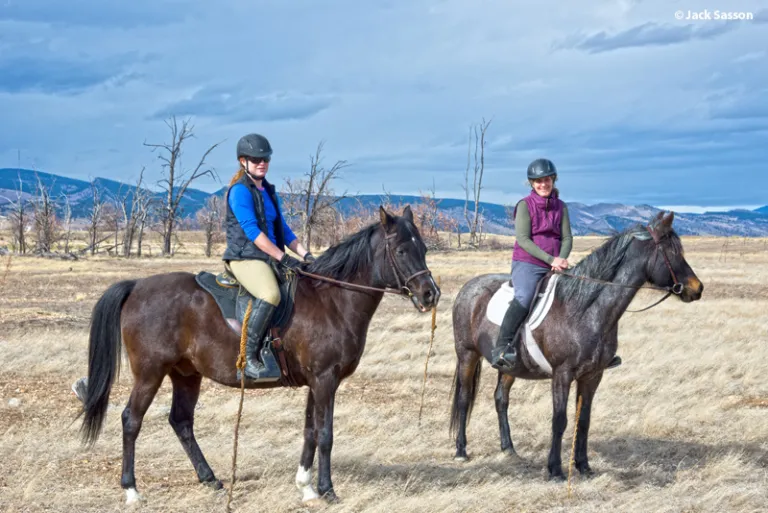
Open Space and Mountain Parks offers many wonderful places to ride.

Paragraph jump menu

Jump To

Many of our trails are open to equestrians with a wide variety of terrain, ecological sites and locations to fit the needs and desires of any rider. Some of our trailhead parking areas have been refurbished to include designated parking spaces for trailers. As we plan renovations to other parking areas, improvements for equestrian trailer parking will be considered.

We all enjoy OSMP in different ways. Expect to encounter other visitors on trails. Be courteous and share the trail so that everyone can have an enjoyable experience.
Before You Ride

  • Review the Interactive Horse Regulations Map, which shows trails horses are allowed on and trail closures.
  • Please check trailhead regulations or the OSMP website before your ride to familiarize yourself with rules & regulations or any temporary closures or reports of trail conditions.
  • Feeding horses weed-free hay or feed prior to your visit is very important to help limit the spread of weedy invasive plants that can be difficult to manage and negatively impact native plants and wildlife habitat.
  • Please leave dogs at home when riding. While some trails do allow dogs to be off-leash under voice and sight control, you must still be able to put your dog on leash at any time. Additionally, some seasonal leash restrictions or temporary leash restrictions may be put in place to protect wildlife like ground nesting birds and bears.
  • When parking, try to economize your use of space and leave room for other trailers.
  • Be aware of Habitat Conservation Areas (HCAs). Off-trail travel on horse back and on foot requires a special self-service Off-Trail Permit. Off trail horse back riding is specifically prohibited in the Eldorado Mountain HCA.
  • Be safe! Some trails are very steep, rocky and difficult to ride. We encourage the use of helmets and taking cell phones along to call 911 for help.

When You Ride

  • Trails and vegetation can be very prone to erosion and damage when conditions are muddy and wet. Please avoid riding during these conditions. If you encounter muddy areas, ride through the mud rather than around.
  • Off-trail riding is allowed in most areas, but we ask you to refrain. Sticking to designated trails helps protect fragile habitats from resource damage and erosion.
  • Anticipate other trail users around corners and blind spots.
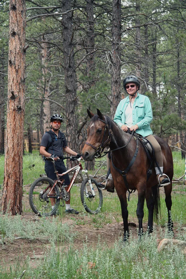
  • OSMP regulations require all other visitors to yield to equestrians. In practice, it may sometimes be more feasible for you to yield.
  • Please be aware of other visitors’ comfort level around your horse, some people may be afraid of or drawn to your horse. Please be sensitive and communicate with other visitors.
  • Please leave parking areas clean after your visit. Do not leave hay or manure behind.
  • Marshall Mesa is the only trailhead with available water. Natural water sources such as streams may be present seasonally along some trails. Streamside areas are fragile so please minimize damage when approaching them.

Favorite Rides

Doudy Draw

Doudy Draw Trailhead, three trailer spaces

  • Doudy Draw – easy and flat at first, there is a steep climb up the mesa to Flatirons Vista trailhead. Prairie and pine-covered slopes. Mountain bikers also use this trail.
  • Community Ditch - easy trail winds along the community irrigation ditch through pasture and mixed grass prairie. Watch for birds and wildflowers. Mountain bikers also use this trail. Cattle may be present. Be aware of the seasonal ground nesting bird closure May 1 - July 31. Riding off trail during this time is prohibited.
  • Spring Brook Loop – medium difficulty, some grades and rocky areas. Beautiful prairie and pine forests, this area is home to abundant wildlife including elk and wild turkey. Mountain bikers also use this trail. Be aware of blind corners and narrow passing zones. Horses are required to remain on the trail in this area.
  • Goshawk Ridge - medium difficulty. This trail passes through Eldorado Mountain Habitat Conservation Area so off-trail riding is prohibited. Spectacular scenery and displays of wildflowers from spring through fall are highlights of this fragile back country area.

Flatirons Vista

Flatirons Vista Trailhead, four trailer spaces

  • Flatirons Vista connection to Doudy Draw – easy. Several relatively flat trails loop through ponderosa pine savannah. Be aware of the seasonal ground nesting bird closure May 1 - July 31. Riding off trail during this time is prohibited. The steep downhill section that connects to Doudy Draw includes a very sharp switchback where passing is difficult. Mountain bikes also use this trail.
  • Greenbelt Plateau – easy. This gravel road borders the Southern Grasslands Habitat Conservation Area so riding off-trail to the east requires an HCA off-trail permit. Cattle may be present. Be aware of the seasonal ground nesting bird closure May 1 - July 31. Riding off trail during this time is prohibited. Mountain bikers also use this trail.
  • High Plains - easy. This trail passes through the Southern Grasslands Habitat Conservation Area so off-trail riding requires an off-trail permit. Incomparable views of the rolling prairie hills suggest a pre-settlement landscape. Mountain bikers also use this trail.

Marshall Mesa

Marshall Mesa Trailhead, four trailer spaces

  • Marshall Mesa and Coal Seam trails - medium difficulty, some steps and rocky terrain. This historic coal mining area is peppered with the historic remnants of past mining operations. The landscape includes beautiful stands of rare dryland tall grass prairie and pine-covered hillsides. Wildflowers abound in spring and summer. Mountain bikers also use this trail.
  • Access to Greenbelt Plateau and High Plains trails. Mountain bikers also use this trail.

Teller Farms

South Teller Lake Trailhead, North Teller Lake Trailhead

  • Teller – North - easy, connects to White Rocks/Gunbarrel Trailhead, and Teller South. Mountain bikers also use this trail.
  • Teller – South – easy flat trail along a gravel road passes through pastures. Cattle may be present.
  • White Rocks - easy, northern section climbs to Gunbarrel. Attractive route past small ponds, Boulder Creek, with pleasing views of the White Rocks cliffs. Mountain bikers also use this trail.

South Mesa

South Mesa Trailhead

  • Mesa Trail – easy gravel road at first, tending toward moderate difficulty. Prairie and shrublands mix with ponderosa pines, create a diversity of habitat that attracts many sorts of wildlife. A wonderful bird-watching area! Many trail junctions can extend your ride.
  • Towhee and Homestead Trails – difficult, steep and rocky trails pass through shrublands and pine forests rich in bird life.

South Boulder Creek West

South Boulder Creek West Trailhead

  • Big Bluestem –moderate difficulty with some rocky portions and stone stairs as it approaches its junction with Mesa Trail. Open country and pasture, some of it designated a State Natural Area due to the rareness of the plant communities. Large field of wild irises blooms in early May. Cattle may be present. Be aware of blind corners and narrow passing zones.
  • South Boulder Creek - easy with some rocky portions as it approaches its junction with Mesa Trail. Open country and pasture bordering a designated State Natural Area that protects very rare stands of tallgrass prairie.

Boulder Valley Ranch

Boulder Valley Ranch Trailhead, Eagle Trailhead

  • Sage Trail - easy. Mountain bikers also use this trail.
  • Cobalt, Degge, Hidden Valley and Mesa Reservoir trails provide a fascinating network for exploration. This mixed grass prairie is home to hawks, coyotes and prairie dogs.
  • Eagle Trail to Boulder Valley Ranch - easy, pleasant ride through open country, prairie and around a reservoir. Mountain bikers also use this trail.

Cherryvale

Cherryvale Trailhead, three trailer spaces

  • Cherryvale Trail – easy, a gravel road providing access to north and south travel along South Boulder Creek trail to Bobolink Trailhead.