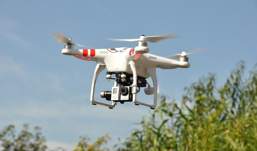
Upcoming City-Operated Drone Flights
The city's policy is to provide at least 48-hour advance notice to the public about planned drone flights as long as such notification does not jeopardize ongoing public safety operations or investigative activities.
Every Wednesday
- Time: 9-11 a.m.
- Location: Western City Campus, between Broadway and 9th Street, and Alpine Avenue and Balsam Street.
- Purpose: Obtain images of Western City Campus construction.
Regulations
Because the City of Boulder and the Federal Aviation Administration (FAA) each have rules about flying drones, this website is designed to clarify those regulations so you can safely and legally operate a drone. The bottom line: Anyone flying a drone must follow all federal, city and county guidelines. You may not launch, land or otherwise operate any unmanned motorized vehicle from or on any City of Boulder Open Space and Mountain Parks land.
FAA rules dictate certain key rules about drones, and there’s an important difference between whether you’re flying your drone recreationally (not for money-making purposes) or commercially (for money-making purposes). For more information and a more complete list of regulations, visit the FAA website.
Insurance Requirements: Certificate of Insurance naming the "City of Boulder and its officials and employees" as additional insured in a general liability insurance policy with a combined single limit of $1 million per occurrence and a $2 million aggregate. Use of a UAS/UAV or "drone" requires an aviation specific endorsement or policy.
Contacts
Regulations vary for different parts of Boulder. Please work with the appropriate agency below.
Dos and Don'ts for Recreational Drones
For recreational flying (operating an unmanned aircraft for a non-money-making purpose), FAA rules include, but are not limited to, the following:
- Small unmanned aircraft must be registered with the FAA if more than 0.55 lbs. and cannot weigh more than 55 lbs.
- Highly recommended to remain below 400 feet.
- Unmanned aircraft may never fly over :
- Groups of people
- Stadiums or sports events
- Near emergency response efforts such as fires
- Operators must yield right of way to other aircraft and may never fly drones near aircraft.
- Operators must not fly aircraft under the influence.
- Operators must keep the aircraft in sight (visual line-of-sight).
- Operators must notify the airport and air traffic control tower before flying within 5 miles of an airport. To notify the Boulder Municipal Airport, email bma@bouldercolorado.gov. Download the FAA’s B4UFLY smartphone app for locations and contact information on local airports.
- Flying within 3 nautical miles of Folsom Stadium is prohibited starting one hour before and ending one hour after the scheduled time of any of University of Colorado football game. View this map for a general guideline of the areas where flying an unmanned aircraft is prohibited during this period.
In addition to following all FAA rules, people flying drones recreationally must also obey the following city regulation:
- You may not launch, land or otherwise operate any unmanned motorized vehicle from or on any City of Boulder Open Space and Mountain Parks land unless permitted to do so for public land and wildlife management, including research, search and rescue and public safety purposes (see below).
OSMP Drone Use Application Information
An application is required for individuals, and organizations requesting to use Unmanned Aircraft System (UAS), aka drones, for public land and wildlife management, including research, search and rescue and public safety purposes on City of Boulder Open Space and Mountain Parks lands (OSMP). Other purposes are not allowed.
Submit complete applications at least six weeks prior to the earliest flight; incomplete applications will require longer processing times. During application submittal you must also upload documentation of all required training, certifications, registrations and insurance.
*If you are interested in flying a drone for research, you must complete a research permit application as well as a drone flight request application.
NOTE:
- We may require city staff to accompany you during your flight. If so, this may require additional time to schedule.
- Beyond submitting a Results Report, we hold the right to require your raw data that you collect on OSMP lands.
- We may need more information from you then what is described here.
Results Report
Please submit your Results Report to grunewaldm@bouldercolorado.gov.
Results Report should include:
- Organization name:
- Main Contact:
- Address:
- Email:
- Phone number:
Thank you for providing a report on your results to Open Space and Mountain Parks. Essentially, we need to see what you learned and your analytical findings from your drone flight(s) over OSMP lands. Please be sure it includes an introduction, method, results and discussion.