Trail Description
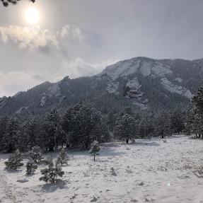
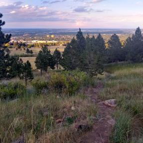
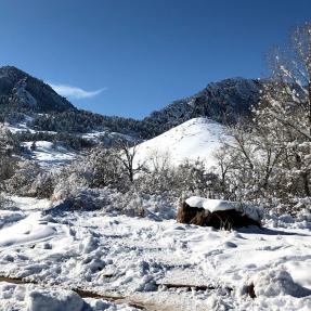
The NCAR Trail travels west on a small mesa, drops to a broad saddle, then climbs another ridge to a water tank, before dropping into a valley to end at Mesa Trail. The National Center for Atmospheric Research (NCAR) has placed a series of interpretive signs about weather along the top portion. This rolling trail offers splendid views of the Flatirons and the surrounding open space area.
Accessibility
This trail is identified as being mobility-friendly. See the Visitors Experiencing Disabilities Page for trail details.