Zoning Code Modules
The city's zoning code is broken into three basic parts, or modules, that specify use, density and development requirements for each district. The combined elements of the three modules create a zoning district.
The three zoning code modules are:
- Use - establishes the uses that are permitted, conditionally permitted and prohibited, as well as uses that may be permitted through a use review approval.
- Form - specifies the physical parameters for development, such as setbacks, building coverage, height and special building design characteristics.
- Intensity - establishes the density of development and identifies the:
- minimum lot sizes,
- minimum open space per dwelling unit,
- number of dwelling units per acre,
- minimum open space per lot or parcel, and
- floor area ratios, when applicable.
In addition, planned developments (generally referred to as PUDs) are a planning tool utilized by the city since the 1960s to allow for flexibility in development and design. Submit an inquiry for assistance in determining if a parcel is located within a PUD zone.
Zoning Verification Letters
Included in a standard Zoning Verification Letter is the following information:
- Current zoning of the parcel in question.
- Any mapped discretionary reviews.
- Any unresolved zoning, land use and/or building code violations or complaints on record.
Information beyond these three points would need to be directed to:
- Planning and Development Services (P&DS) records (Certificates of occupancy, site plans, permit records, etc.) may be made by email to p&dsrecordrequest@bouldercolorado.gov Please allow 3 business days for a response.
- General City of Boulder records (annexations, ordinances, etc.) can be requested on the Central Records webpage. Please allow them the appropriate time (3 business days) to respond to your request upon their receipt.
Building Coverage Standards
Building coverage is the maximum horizontal area within the outer perimeter of the building walls, dividers, or columns at or above ground level, whichever is the greater area.
Building coverage standards apply to all principal and accessory residential buildings:
- in RR-1, RR-2, RE and RL-1 zoning districts;
- that are used as a detached single family land use in the RMX-1 zoning district; and
- in the RL-2 zoning district that are on a lot 8,000 square feet or larger that are not located within a Planned Unit Development, Planned Residential Development, or Planned Development, unless identified in Appendix H of Ordinance No. 7684.
Building coverage does not include:
- uncovered decks, stoops, patios, terraces, and stairways all less than 30 inches in height;
- the outer four feet of completely open, uncovered, cantilevered balconies that have a minimum of eight feet of vertical clearance below;
- up to 300 square feet of a single-family detached residence front porch that is adjacent to a street and up to 150 square feet of additional porch area not located in the front yard for single-family detached residence; and/or
- one accessory building, no larger than 80 square feet and no more than 10 feet in height, associated with a single-family detached residence.
Purposes
The purposes of the City of Boulder's building coverage standards are to:
- establish the maximum percentage of lot surface that may be covered by principal and accessory buildings to preserve open space on the lot;
- preserve some views and visual access to the sky; and
- enhance privacy for residences that are adjacent to new development.
Measure and Calculate Building Coverage
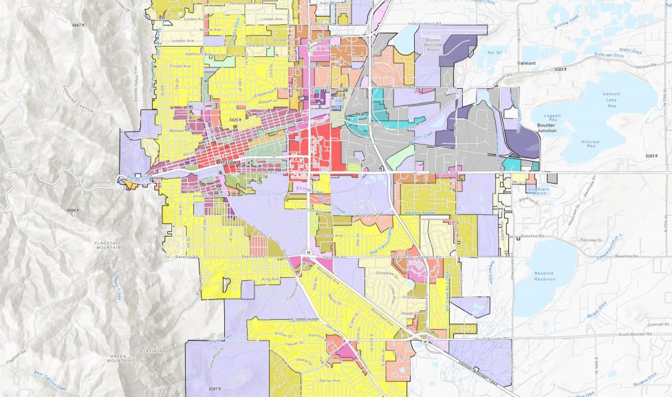
To determine the maximum amount of building coverage permitted on a property, you need to know the lot size and zoning district for your property. Select the "Map of Zoning Districts" link below.
| LOT SIZE (IN SQUARE FEET) | LESS THAN 5,000 | 5,000 TO 10,000 | 10,001 TO 22,500 | MORE THAN 22,500 |
|---|
| RR-1, RR-2, RE, RL-1, RL-2 AND RMX-1 | 0.41 | (Lot Size x 0.2) + 1,050 | (Lot Size x 0.116) + 1,890 | Lot Size x 2.0 |
|---|
Accurate lot area, as determined by a surveyor, is recommended in all circumstances but may be required if the proposed development is within 20 percent of the maximum allowed building coverage.
Examples
- 7,000-square-foot RL-1 lot - (7,000 X 0.2) + 1,050 = 2,450 square feet
- 4,9000-square-foot RMX-1 lot - 4,900 X 0.41 = 2,009 square feet