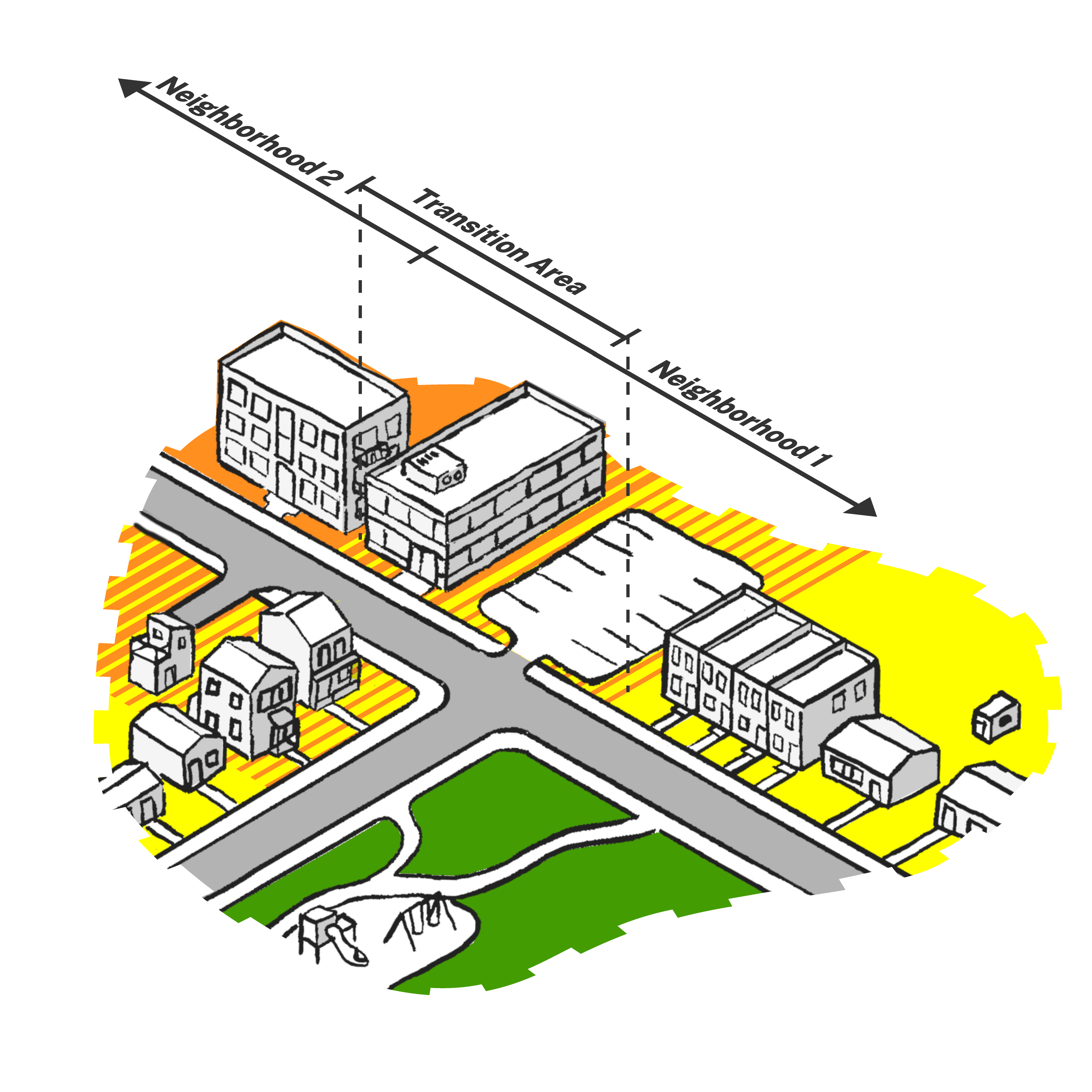
The Future Land Use Map depicts a plan of the desired land use pattern in the Boulder Valley. The map allows for a range of outcomes that are consistent with the community vision and can be resilient to future disruptions. The land use designation definitions accompany and help interpret the map. The definitions describe a sense of character, scale and use of each designation. The definitions are not intended to prescribe specific outcomes or set exact standards. They allow for a dynamic and evolving community that is responsive to societal, economic and environmental changes. In some areas, this character may already exist, whereas in others it would take incremental change over time to make progress toward the vision. Amendments to the map and these designations will follow the Amendment Procedures outlined in the Intergovernmental Agreement between the city and county.
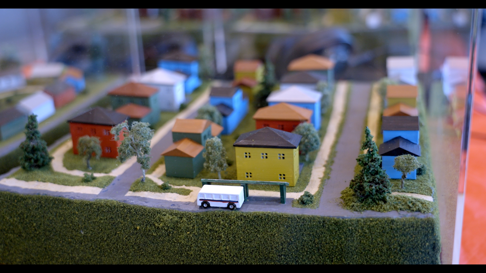
Building Connections by artists Becky Wareing Steele and Shannon Geis was created in response to Community Assembly feedback.
The map and associated designations should be used to guide future land use and transportation decisions in conjunction with the policies in this plan. They will inform future zoning and/or rezoning decisions and development applications that require general consistency with the comprehensive plan. Subcommunity and local area planning can support the implementation of this map to more focused areas of the community. Other references to consider when applying comprehensive plan policies and the Future Land Use Map to decisions may include:
- Surrounding context, including existing and planned development and natural features
- Interfaces between higher intensity and lower intensity areas
- Proximity to transit, hubs or other services or amenities
- Opportunities to achieve community benefits, like affordable housing
- Guidance from subcommunity or area plans
The future land use designations that describe more urban character in the Neighborhoods, Hubs and Special Purpose classes are intended to guide change on properties under city jurisdiction in Area 1-Urban Lands and properties proposed for annexation. Land under county jurisdiction in Area 2-Urban Edge will continue to be guided by county planning processes, zoning and regulations even if these designations are applied in the Future Land Use Map.