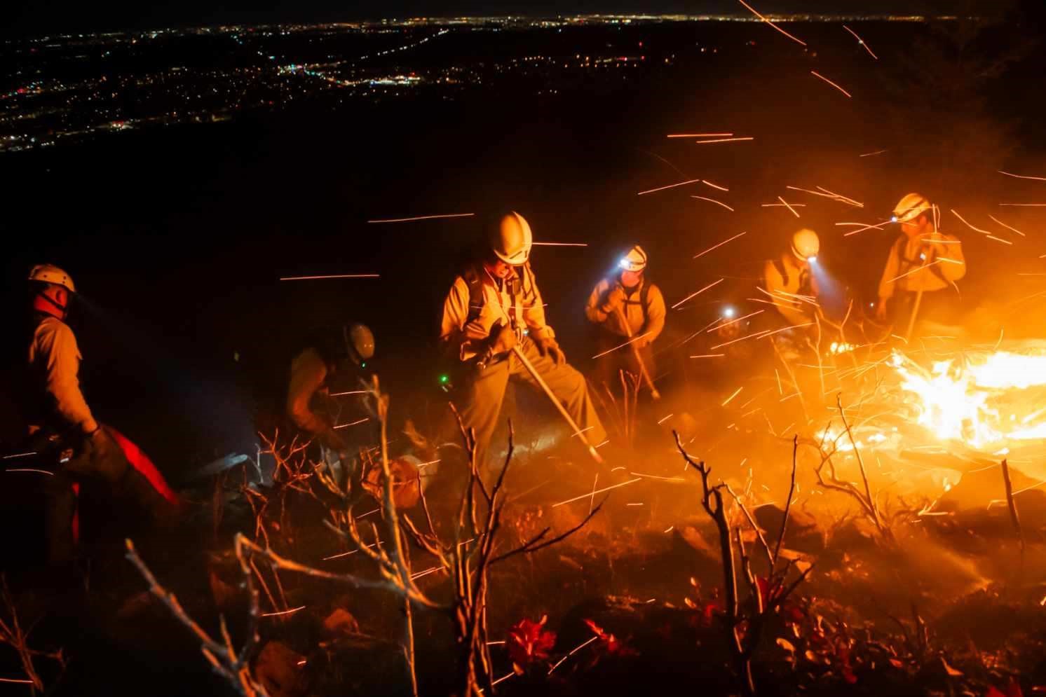
Boulder’s location at the edge of the Rocky Mountains is one of the community’s defining features. Forested foothills, open space, waterways and natural landscapes provide habitat, recreation and scenic beauty. These systems also shape the community’s exposure to natural hazards – particularly flooding and wildfire.
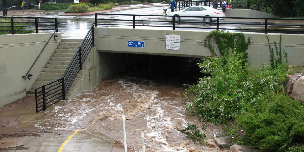
Flood risks are managed through natural and built infrastructure to protect the community.
Flood
The city is home to Boulder Creek, its 14 tributaries and Boulder Slough (diverted water from Boulder Creek to satisfy irrigation company water rights). Due to its geographic location and features, the City of Boulder has the highest risk of flash flooding in the State of Colorado. Events such as the September 2013 flood led to loss of life and widespread damage. Many neighborhoods throughout the city experience flooding during storms, and some are at a higher risk of extreme flooding because they are located near a major drainageway.
Fire
Fire is a natural part of Colorado’s ecosystems, including forests and grasslands, however, drought, wind, insect impacts and patterns of development have increased the potential for large, fast-moving and destructive fires. Events such as the 2021 Marshall Fire demonstrated how wildfire and urban conflagration can have destructive impacts, such as loss of homes and businesses as well as negative impacts to air and water quality.
Several factors influence fire risk in the Boulder Valley:
- Vegetation and fuels – Forests, grasslands and landscaping can accumulate dry fuels.
- Weather and climate – Hot, dry conditions, low humidity and strong winds increase fire intensity and ember spread.
- Topography – Terrain can influence how quickly fire moves.
- Development patterns – Building materials, site design and proximity to open space affect how fires spread within neighborhoods.
While fire risk cannot be eliminated, it can be reduced through coordinated planning and action.
What is Urban Conflagration?
Urban conflagration results when wildfire spreads rapidly into urbanized areas moving from building to building.